


The Canary Islands lie in the sub-tropical eastern Atlantic Ocean off the coast of Morocco and belong to Spain. Krassy Petkov, K1LZ, invited us to come along on the first ED8X ham radio contest expedition from Tenerife for the CQ WW CW contest in November 2015. EA8 lies in zone 33, along with NW Africa. Because it is near but not in Europe, which has lots of multipliers, and not too far from North America, which yieilds lots of contacts, it would be a logical place to be able to win the contest from. And Tenerife is a beautiful island with a perpetually spring-like climate.
Geography of Tenerife
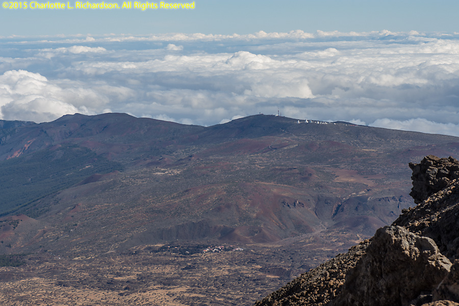
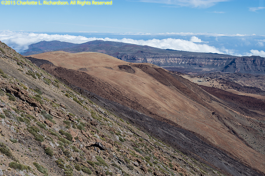
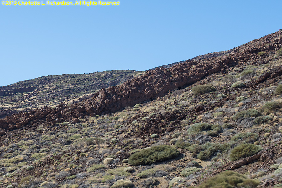
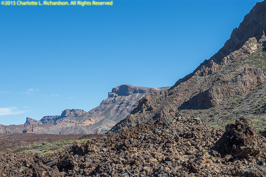
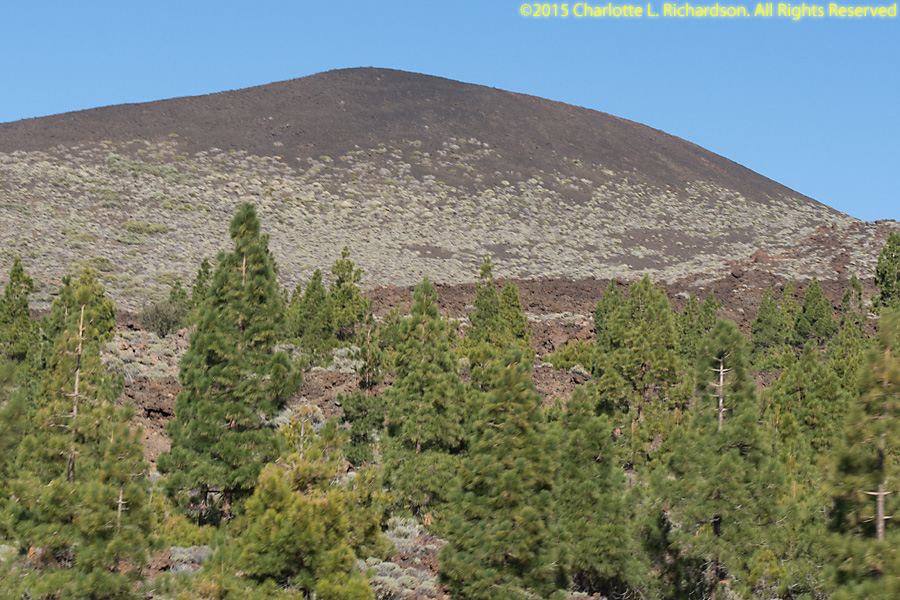
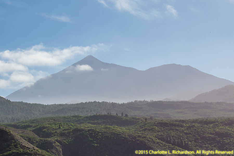
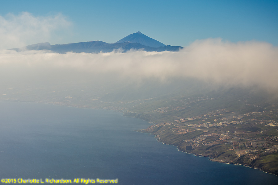
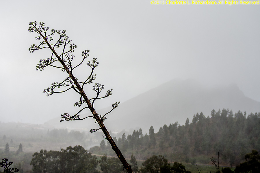
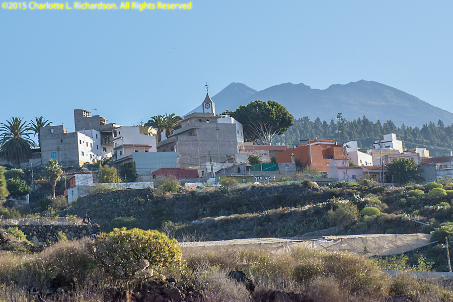
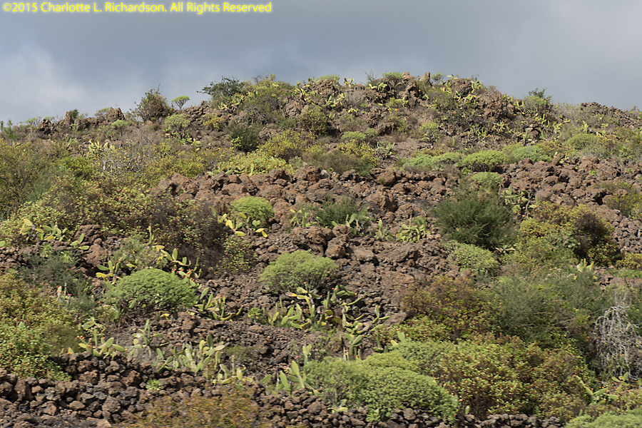
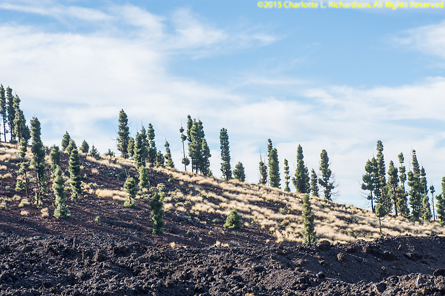
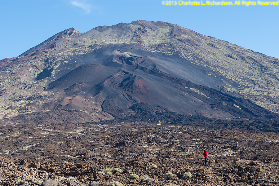
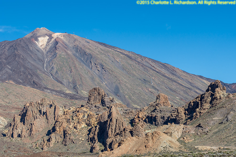
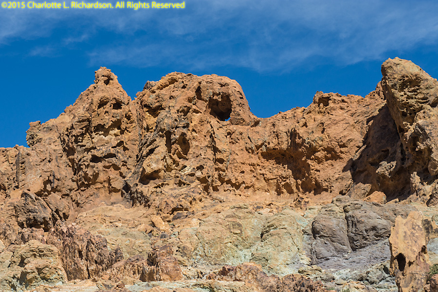
Tenerife is the largest of the Canary Islands. The climate varies from sub-tropical rain forest along the coastline, to scrublands in the low elevation highlands, to pine forests in higher elevations, and finally lava fields in the center surrounding the volcanic peak. In late November, the clouds form at an elevation of around one thousand meters every afternoon. Those areas are thus foggy and windy. The higher elevation areas are clear and dry and less windy, as you can see in the first aerial photograph. The roads are very well-paved blacktop, but are steep and very narrow.
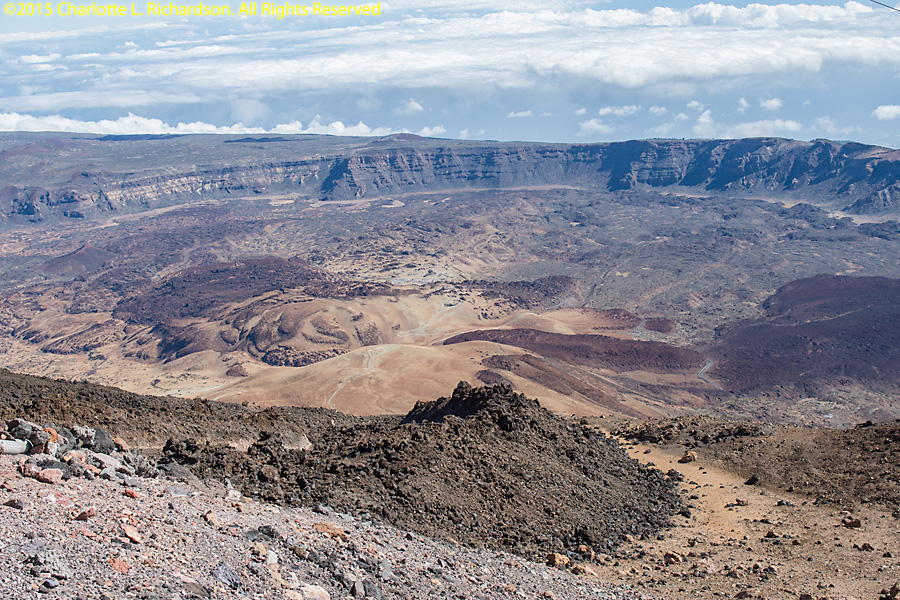
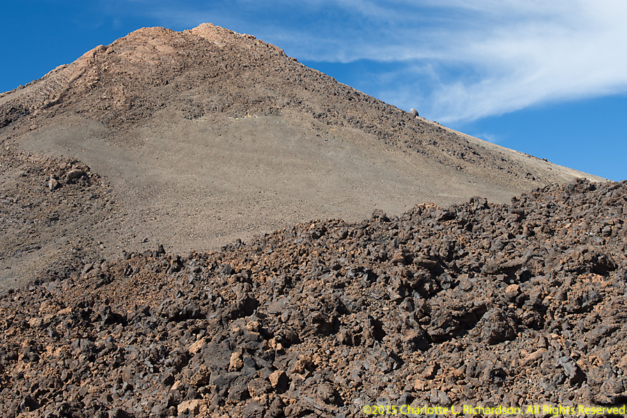
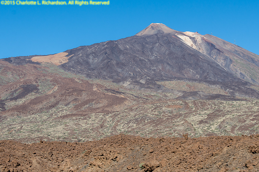
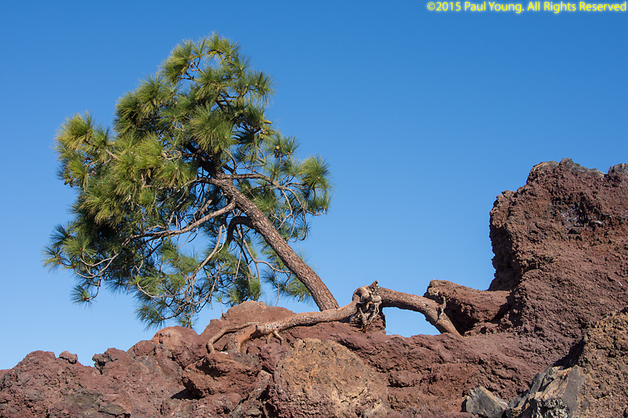
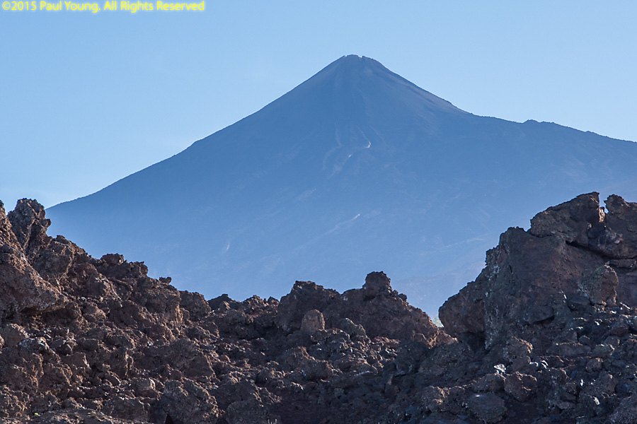
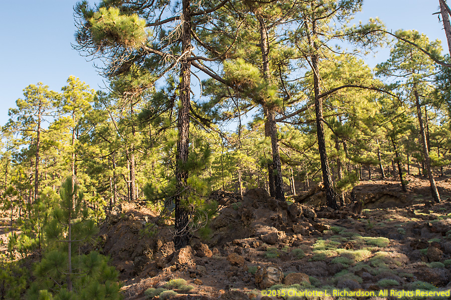
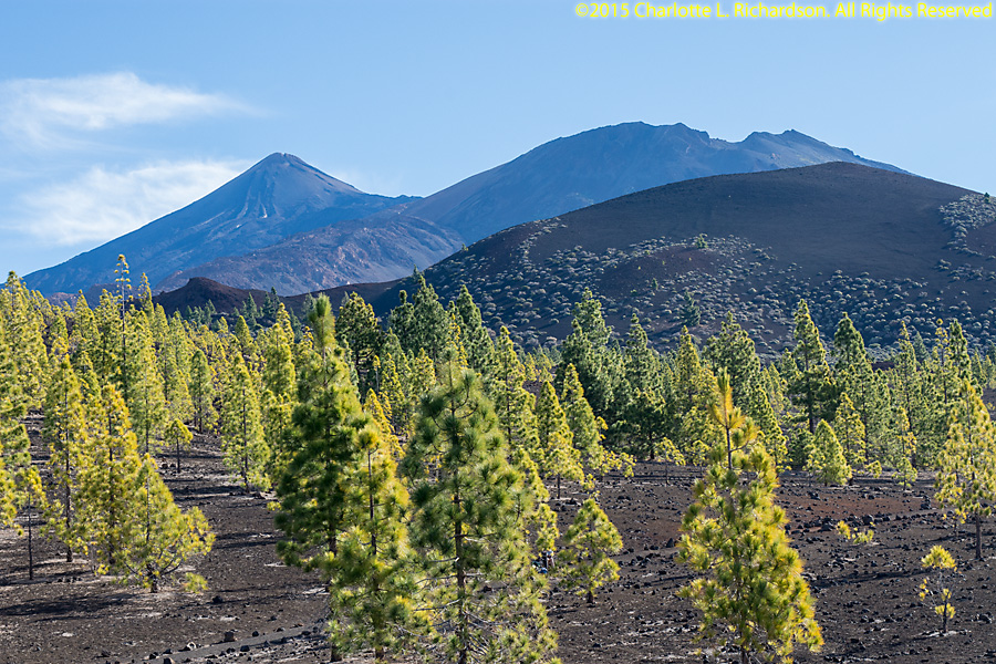
The national park protects the 3718-meter-tall Pico del Teide in the center of Tenerife and is the largest of the Canary Islands' national parks at 189.9 square kilometers. It is a UnescoWorld Heritage site and Spain's most popular national park. The mountain is the highest in Spain. It is surrounded by the pine forest of the Coronal Forestal National Park. The pine trees grow out of lava flows. A tram runs to near the top of the volcano.
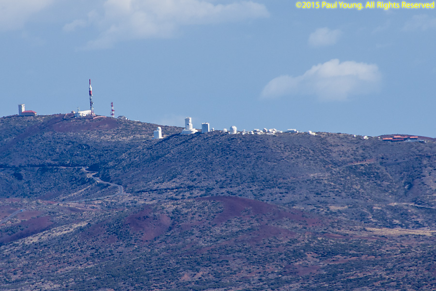
The Observatorio Astronomico del Teide solar observatory is on the northeast side of the park.


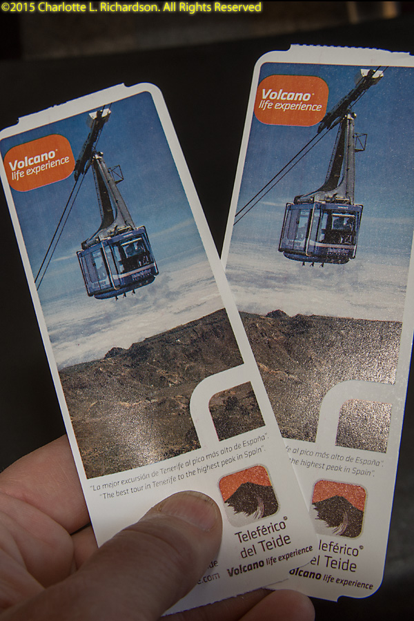
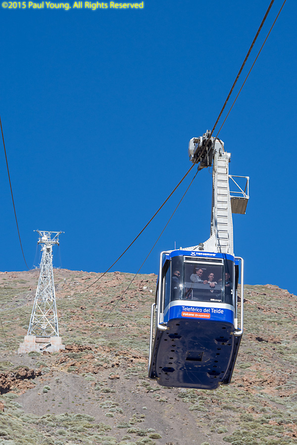
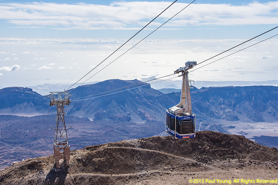
Riding the tram:
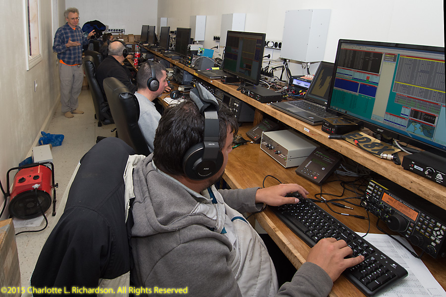
ED8X Contest Station
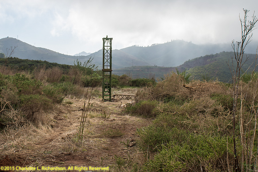
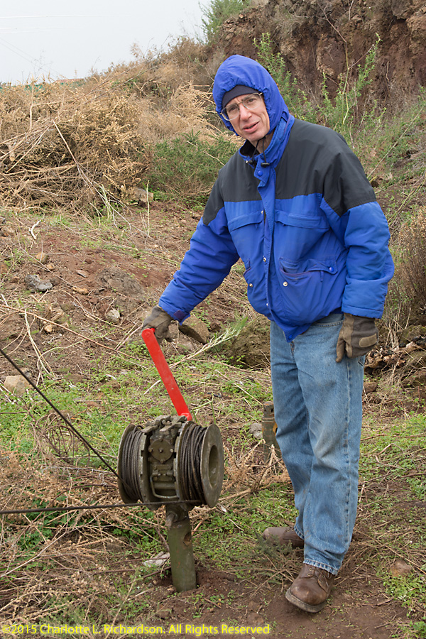
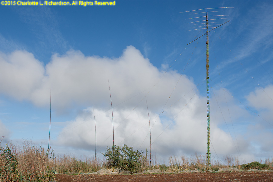
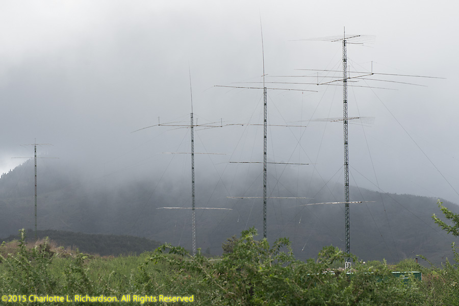
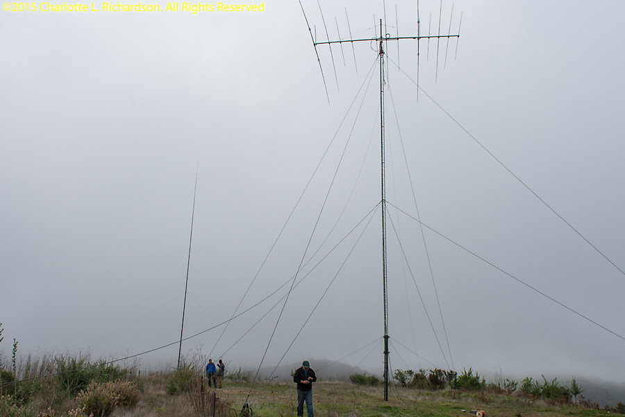
The amateur radio contest station site is in the scrublands vegetation region at an elevation of about one thousand meters, in the northwest corner of the island near Erjos and Santiago del Teide. The elevation puts the station right in the fog layer every afternoon. A huge amount of work was required to put up five large towers and a huge array of antennas in two weeks. The multi-single contest effort netted some 25 million points.
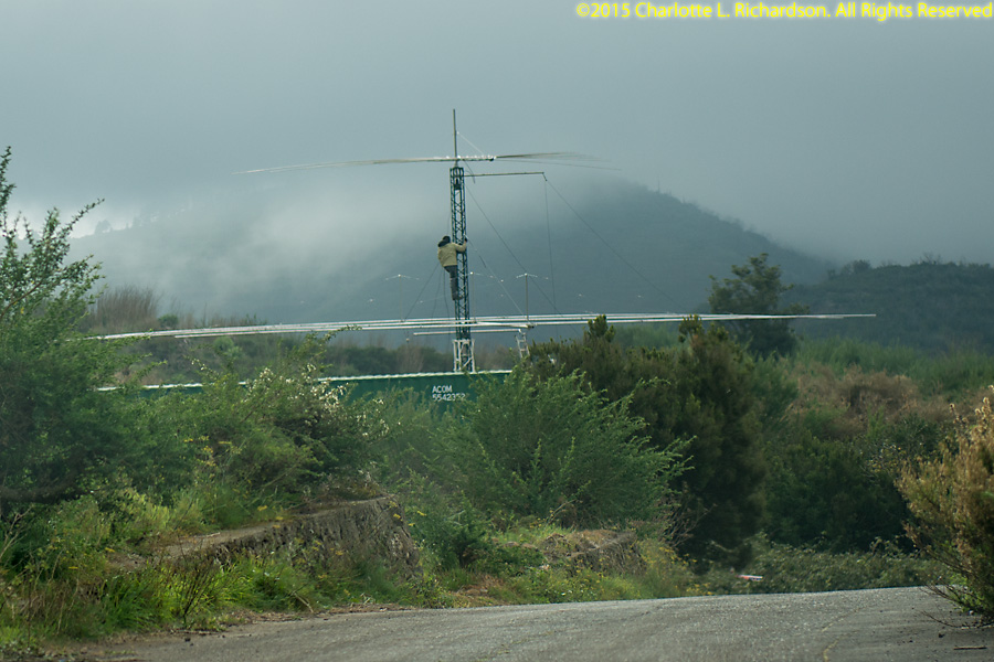
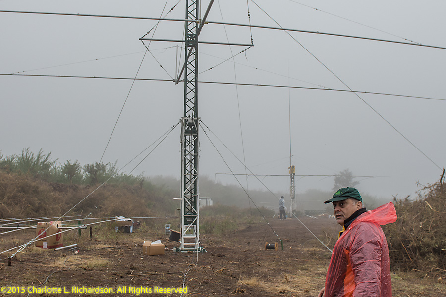
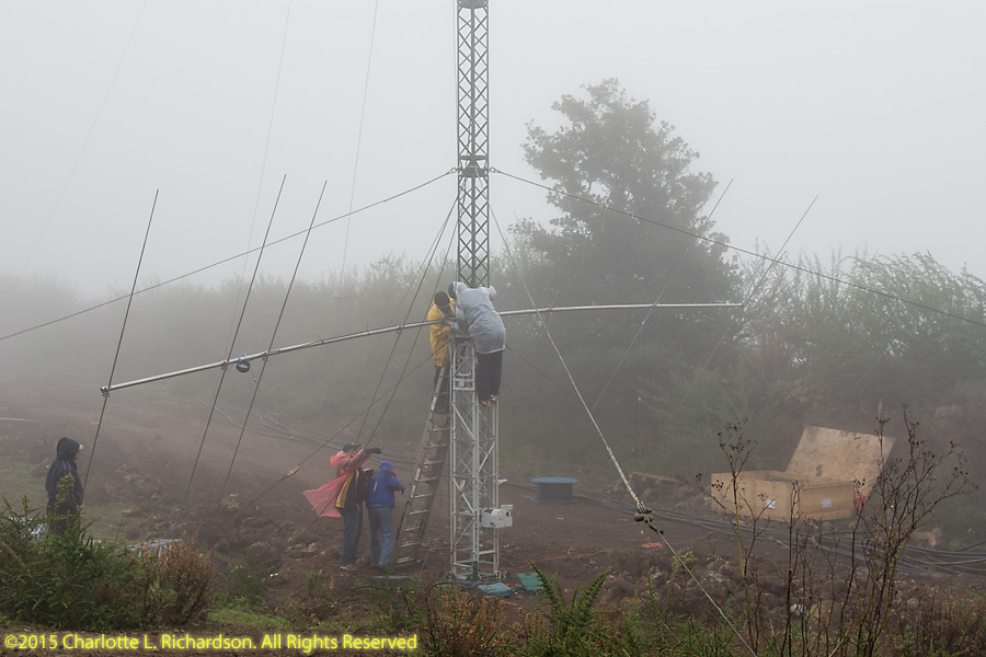
Raising Russian military tower sectuons:


The ED8X CQ WW CW 2015 video, as shown at the Dayton Hamvention in 2016:
©2015, 2016, 2017 Mermaid Underwater Photographic. All Rights Reserved.
Contact us at mermaid@underwater.org.
Last modified 30 November 2017