Flight to Deadhorse (Prudhoe Bay)
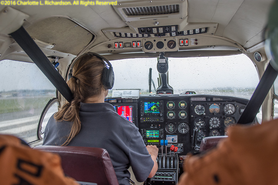
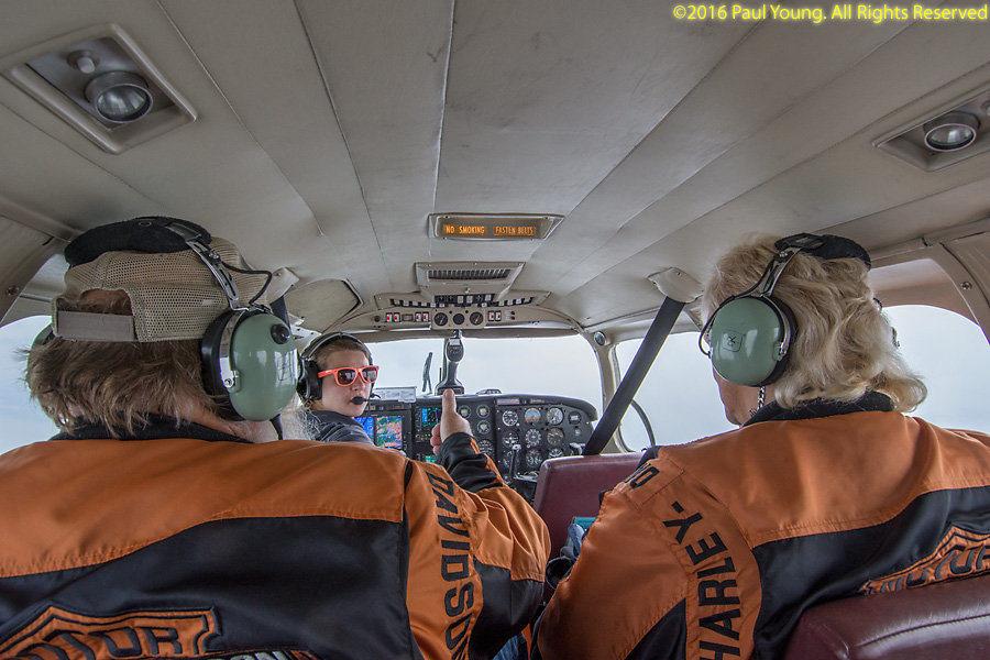
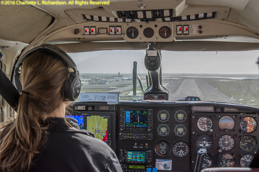
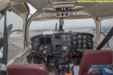
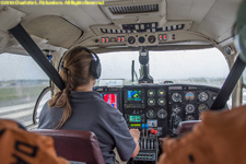
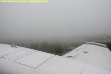
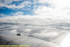
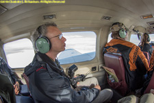
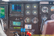
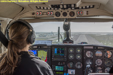
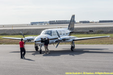
Flight from Fairbanks to Deadhorse in a Piper Navajo Chieftain:

Crossing the Arctic Circle, as shown on the airplane's GPS. North of the Arctic Circle the sun is above the horizon for 24 continuous hours at least once per year (the summer solstice, June 20 or 21) and below the horizon for at least 24 continuous hours at least once per year (the winter solstice, December 21 or 22). Its exact location is not fixed; currently the Arctic Circle is at 66 degrees 33 minutes 46.4 seconds North latitude, but it fluctuates due to the Earth's axial tilt, with a 40,000 year period. Currently the Arctic Circle is moving north about 15 meters per year.
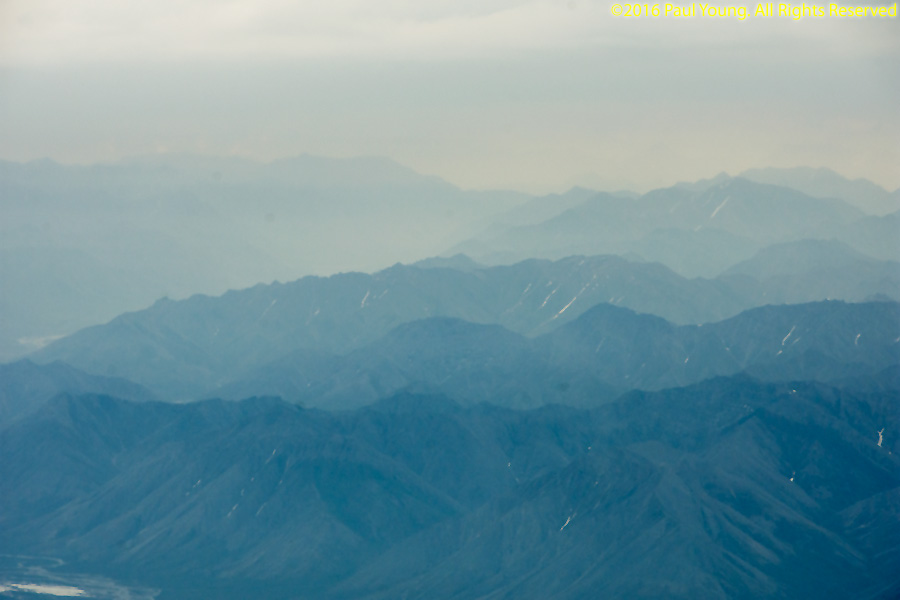
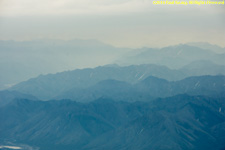
The Brooks Range stretches 700 miles west to east across northern Alaska into the Yukon Territory. The highest elevation is Mount Istro at 8976'.
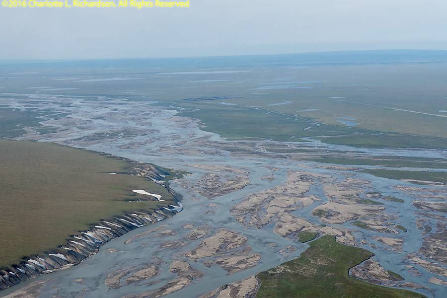
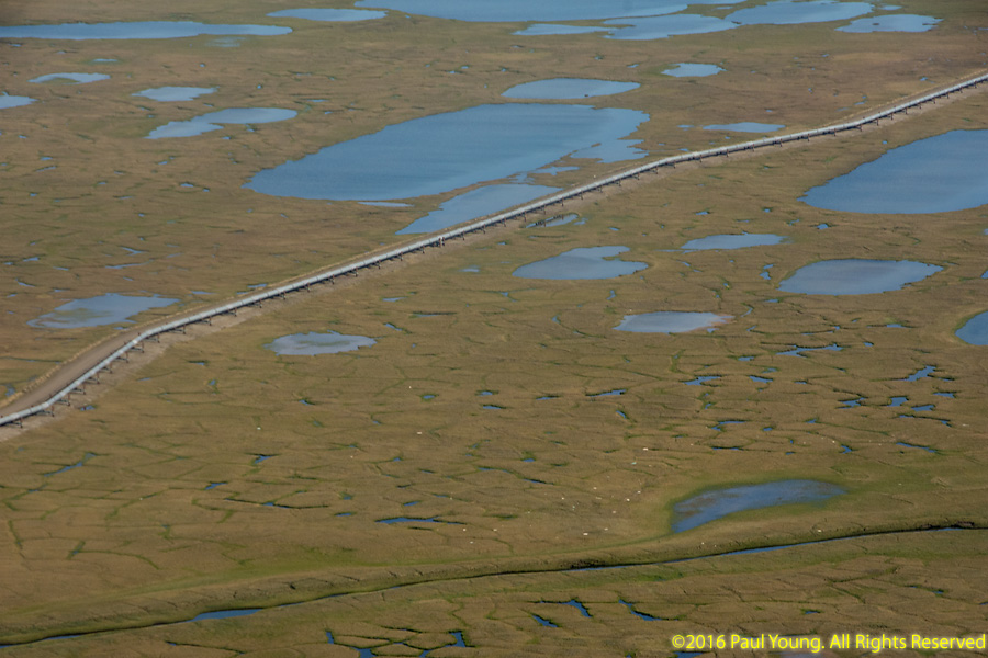
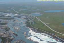
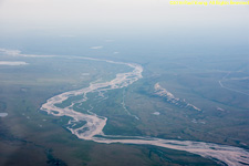
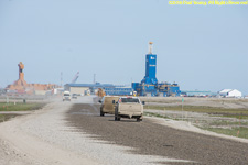
The Sagavanirktok (Sag) River originates on the North Slope of the Brooks Range and flows 180 miles into the Beaufort Sea near Prudhoe Bay. The Trans-Alaska Pipeline and Dalton highway parallel the river from Atigun Pass to Deadhorse.

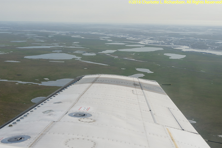
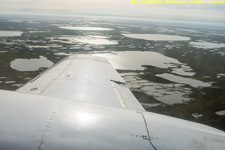
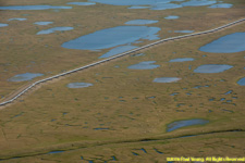
The tundra. Arctic tundra occurs north of the treeline of the taiga, where tree growth is hindered by low temperatures and short growing seasons. The vegetation is dwarf shrubs, sedges, grasses, heath, moss, and lichens. The subsoil is permafrost. The tundra is windy and receives very little precipitation, only about 5" a year. However, little water evaporates, and it cannot penetrate the frozen subsoil, so in the summer it is marshy. Ice-wedge polygons form when the ground freezes, contracts, and cracks in geometric patterns. Water seeps into the cracks and over thousands of years forms thick wedges of ice that push the soil up into ridges. If the ice in the ridges melts they subside, leaving high-centered polygons.

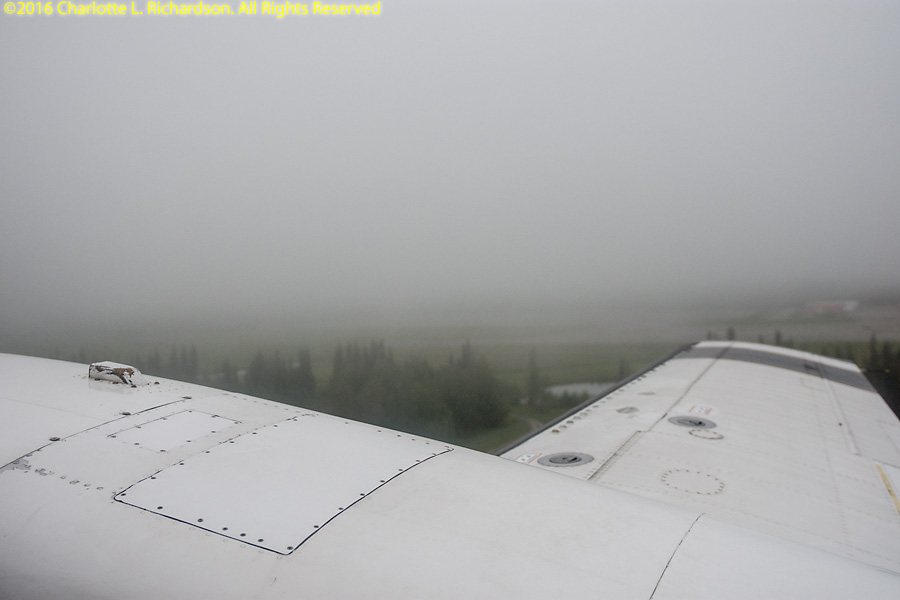
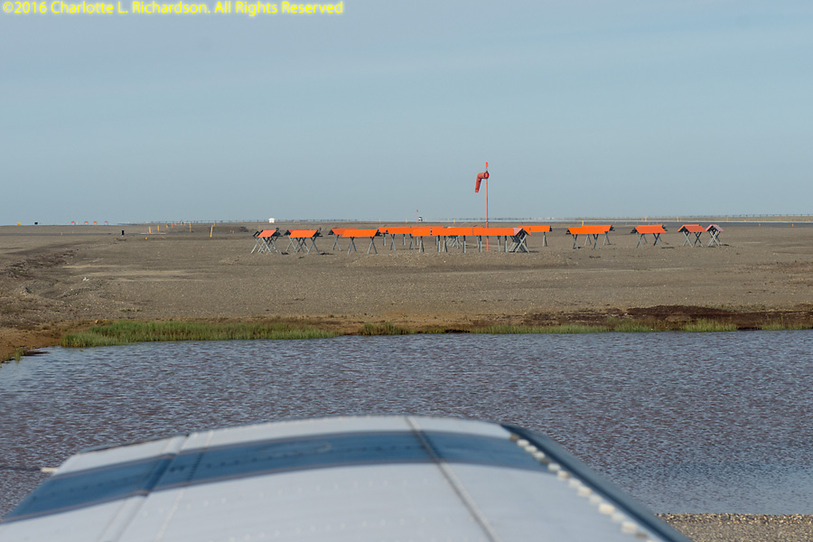
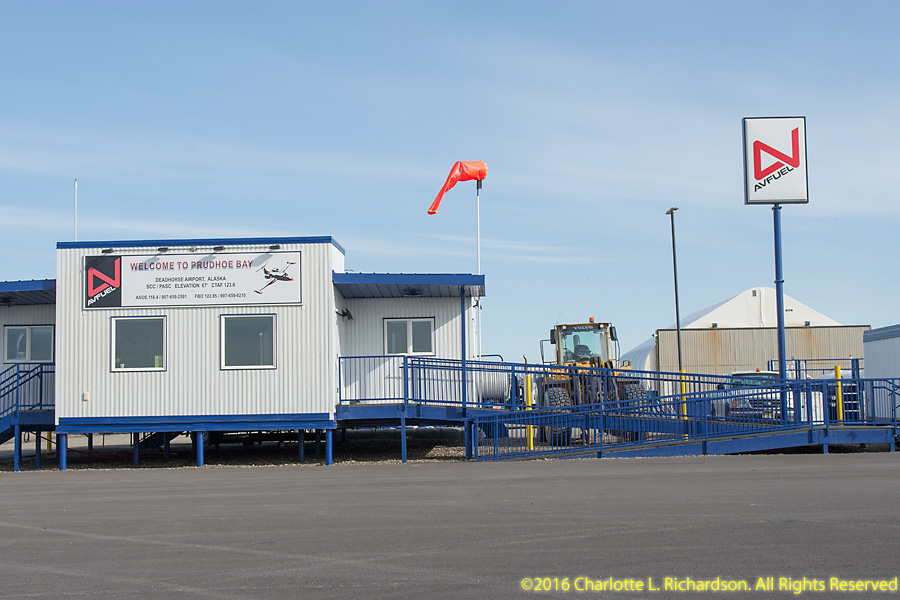
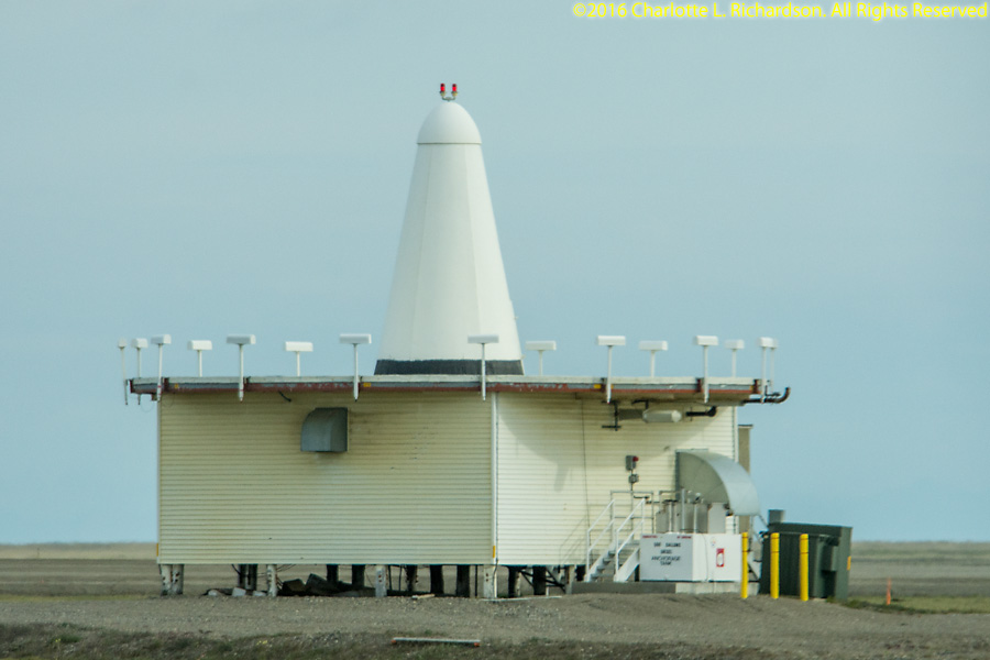
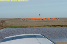
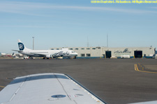
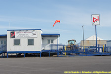
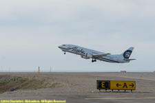
Landing at Deadhorse. The FBO building and the VOR transmitter are on stilts above gravel pads due to the permafrost. Not sure about the foundation of the Alaska Air terminal building.

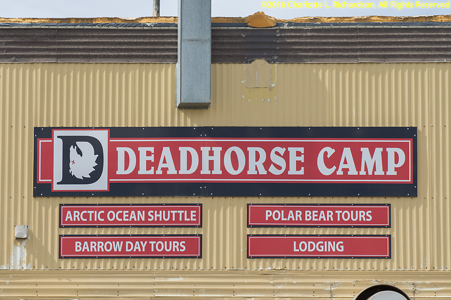
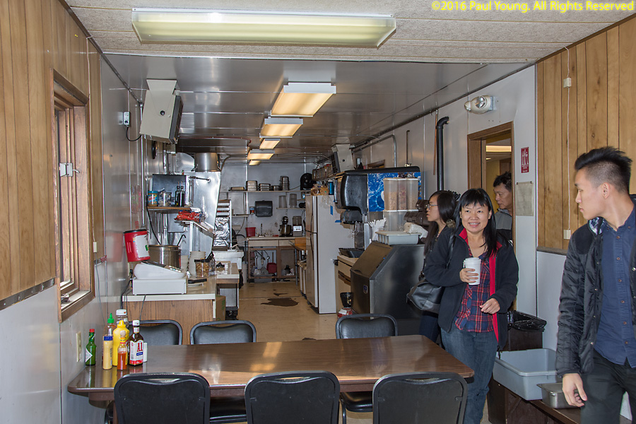
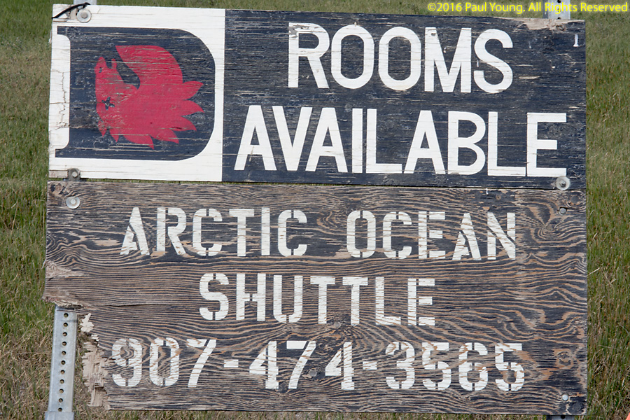
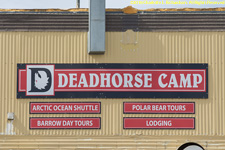
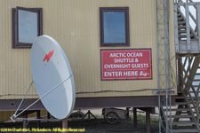
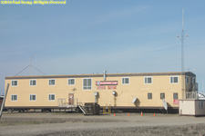
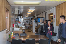
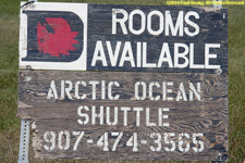
Deadhorse Camp provides camp-style lodging and meals to travelers to Deadhorse, the service community for Prudhoe Bay.
©2016, 2019 Mermaid Underwater Photographic. All Rights Reserved.
Contact us at mermaid@underwater.org.
Last modified 4 November 2019