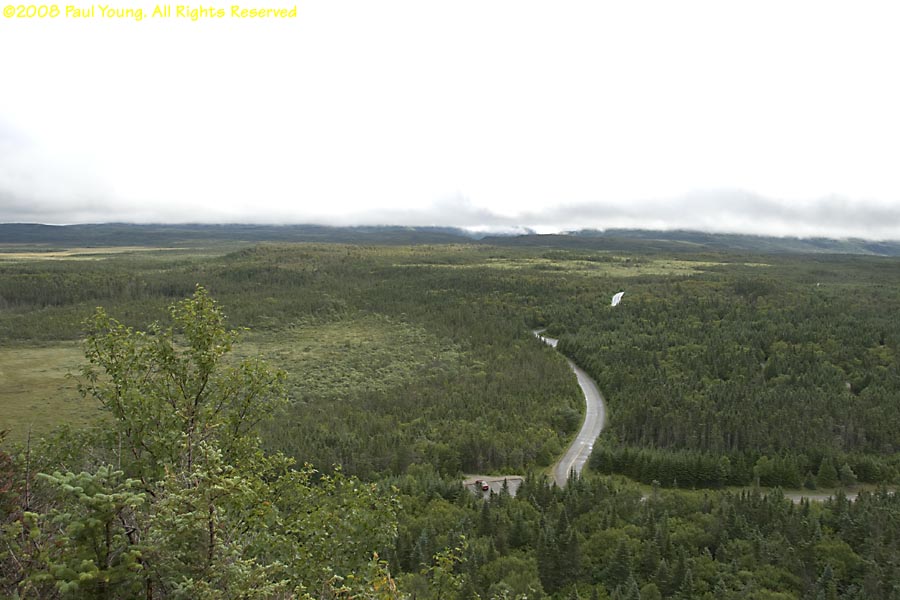
We traveled to Newfoundland over Labor Day, 2008, to hike in Gros Morne National Park. Established in 1973, the 700 square mile park lies halfway up Newfoundland's west coast along the Gulf of Saint Lawrence. From the 1.25 million year old Long Range Mountains, peat bogs and fens extend to the coastal lowlands.
Hiking trails, in the order we traversed them:
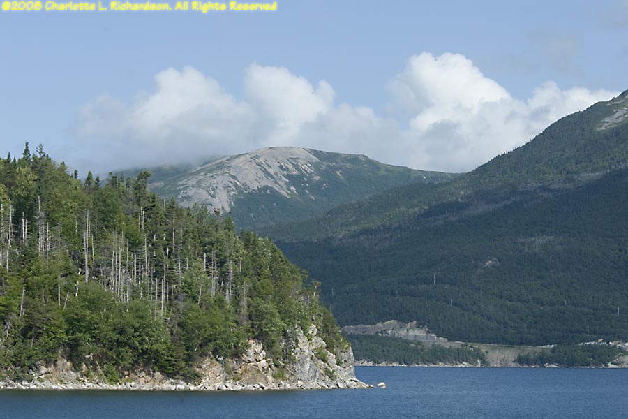
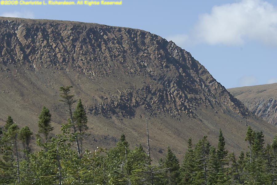
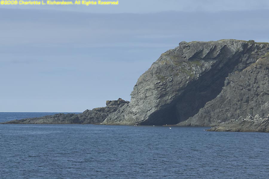
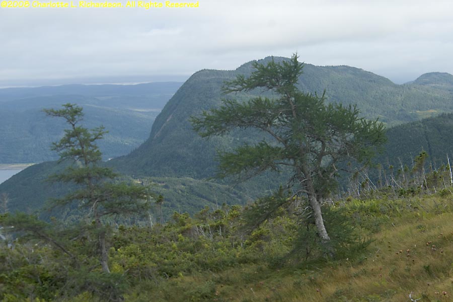
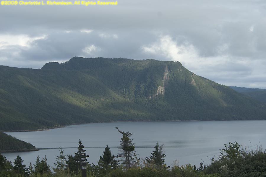
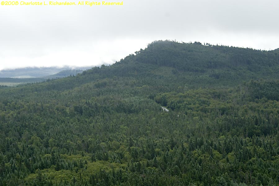
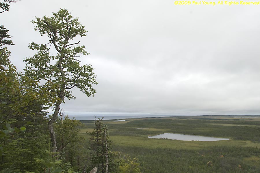
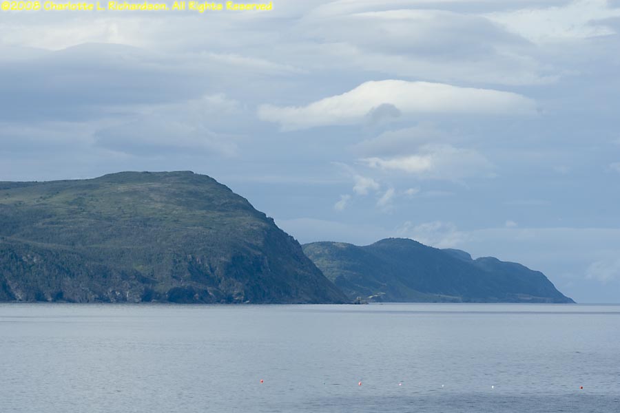
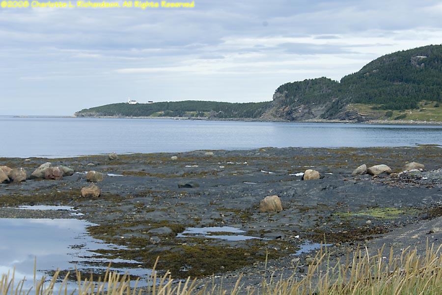
Lomond: looking north across the east arm of Bonne Bay fjord toward Killdevil Mountain.
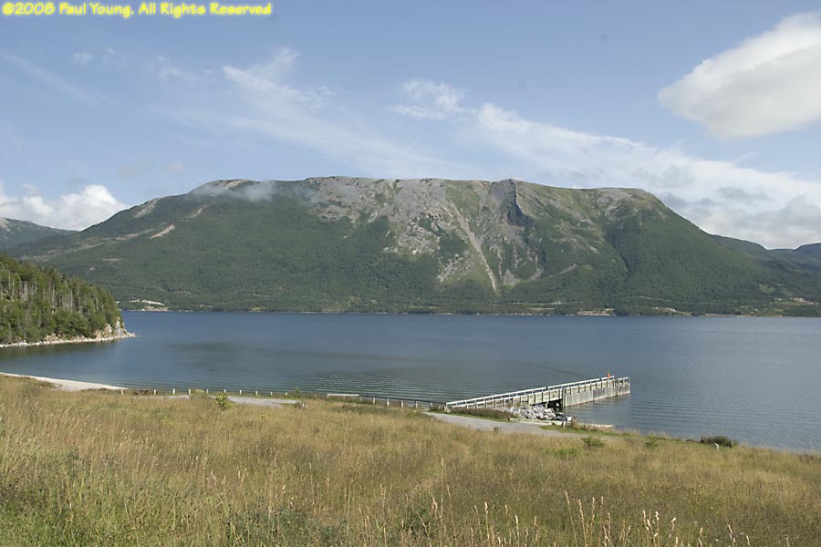
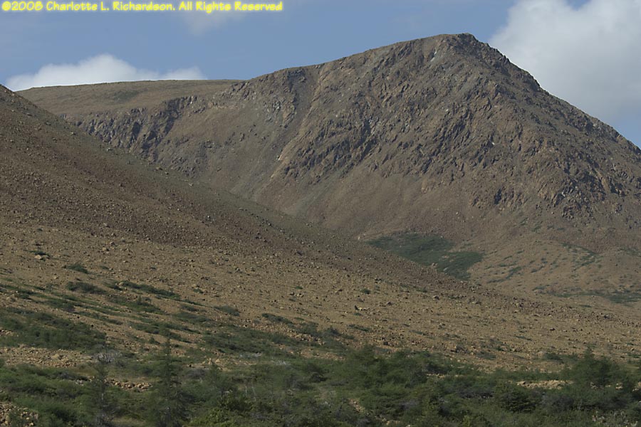
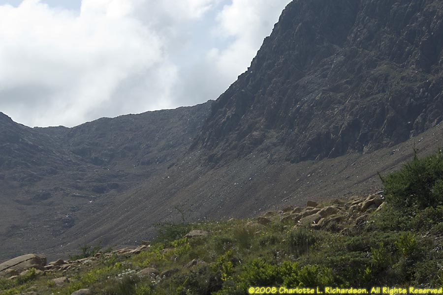
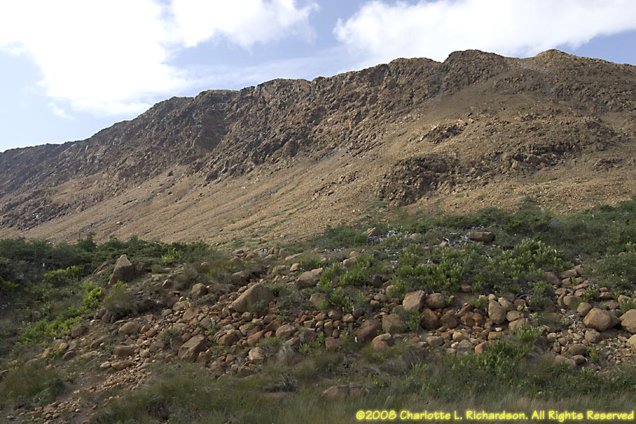
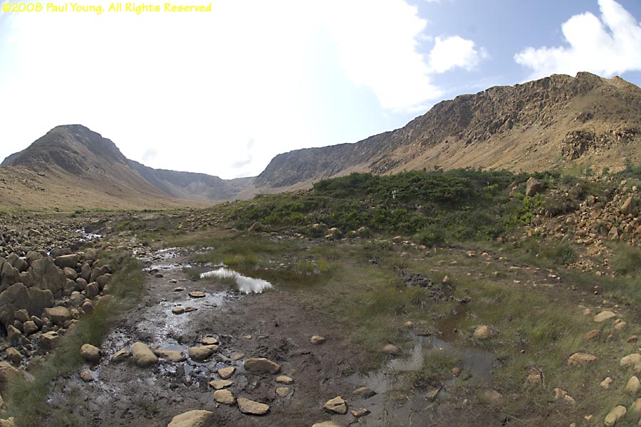
Tablelands: Serpentine barrens, a barren plateau of 500-million year old peridotite sedimentary ocean floor rocks, thrust upward by the tectonic plate collision that raised the Long Range Mountains. Pitcher plants are common here. They are Newfoundland's provincial flower.
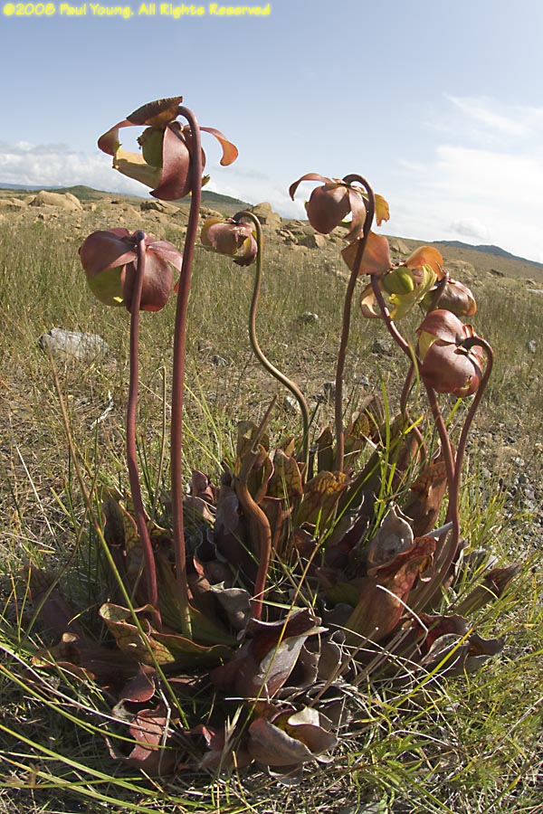 Purple Pitcher Plant, Sarracenia purpurea
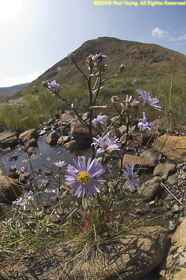 New York Aster, Symphyotrichum novi-belgii
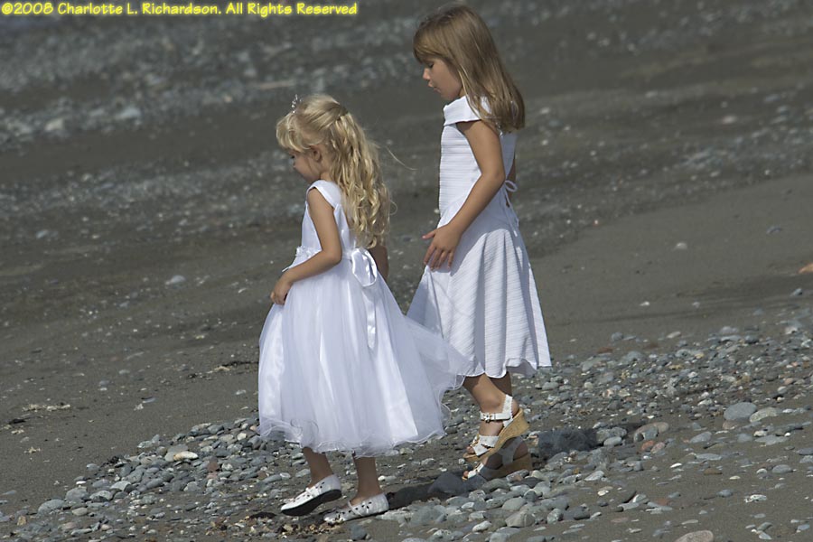
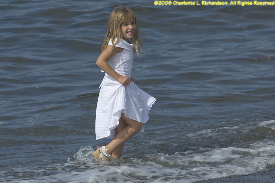
Trout River: fishing village at the south end of Gros Morne. A local weddding was going on, and the two little girls were the flower girls.
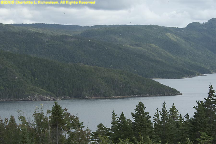
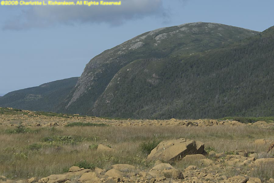
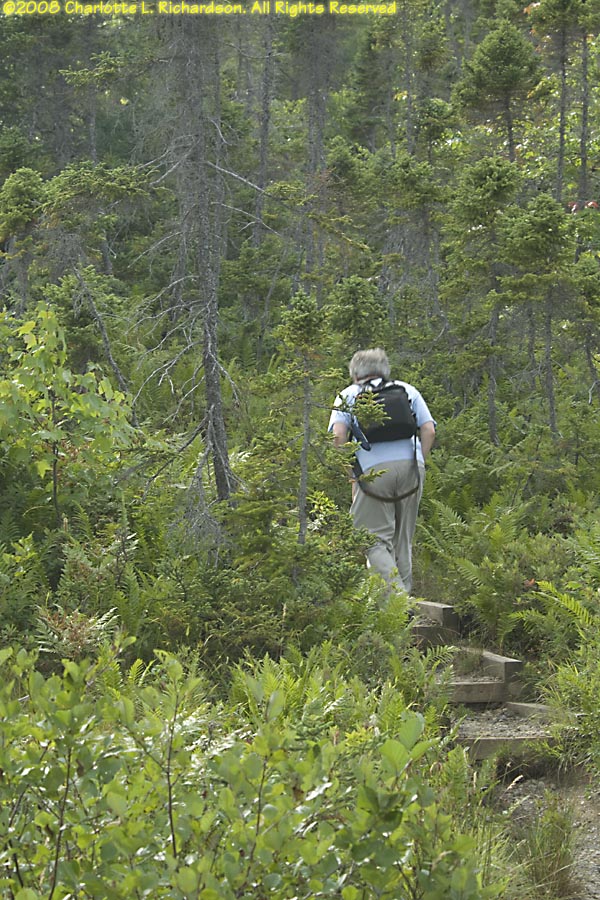
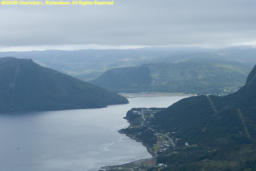
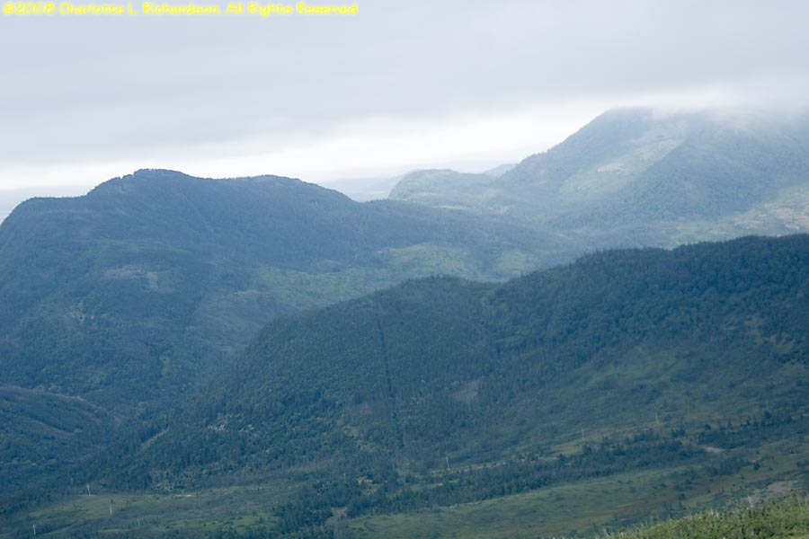
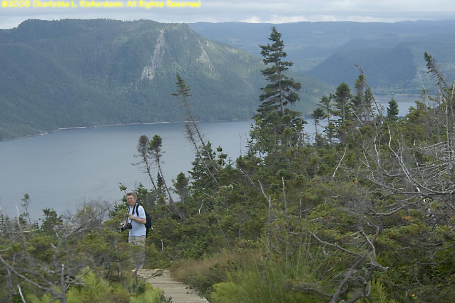
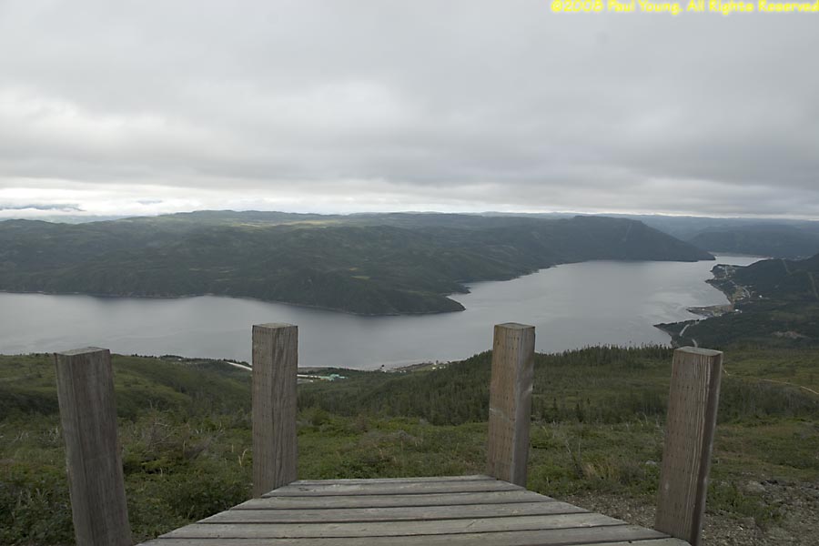
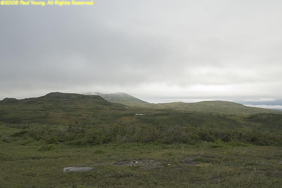
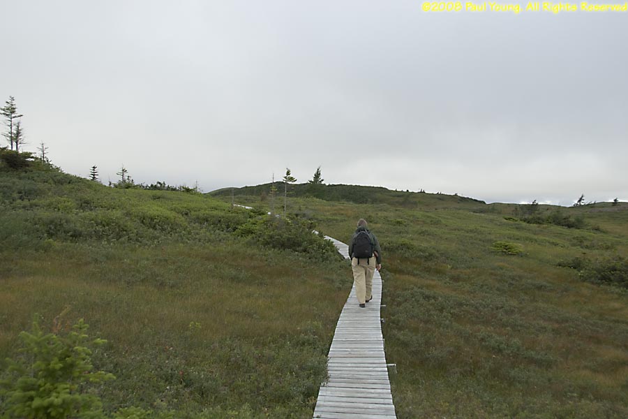
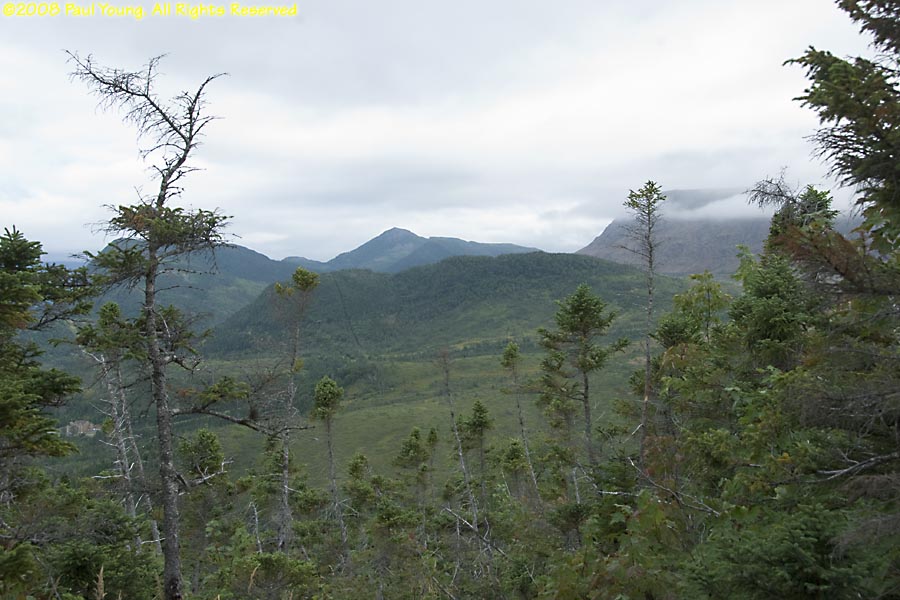
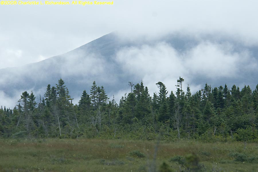
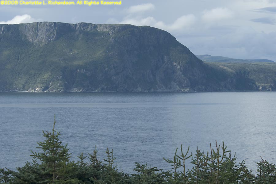
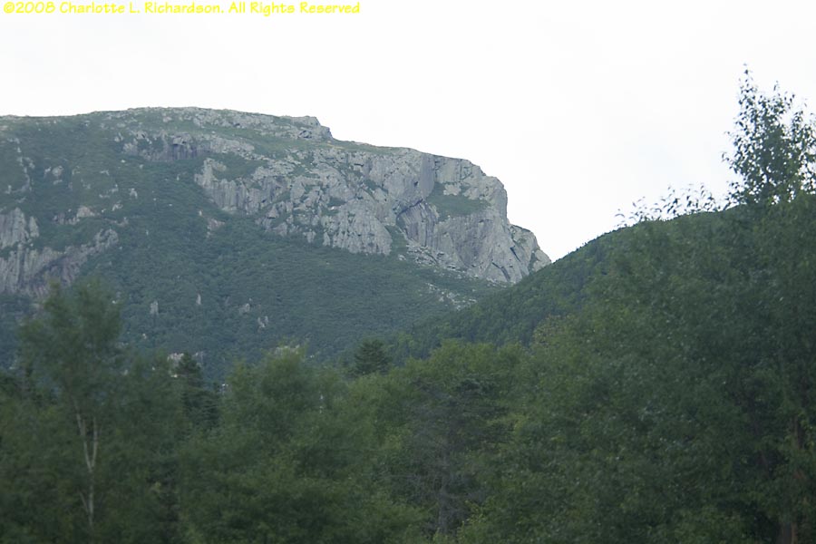
Lookout Hills: Looking north across Bonne Bay fjord and the Long Range Mountains towards Norris Point. This trail goes up a forrested hillside to the wet meadow and barrens of the plateau. A boardwalk continues to the summit of Partridgeberry Hill and a view of Bonne Bay and the Tablelands.
Berry Hill: A 60-meter rock knob that was an island during high sea levels just after the last ice age.
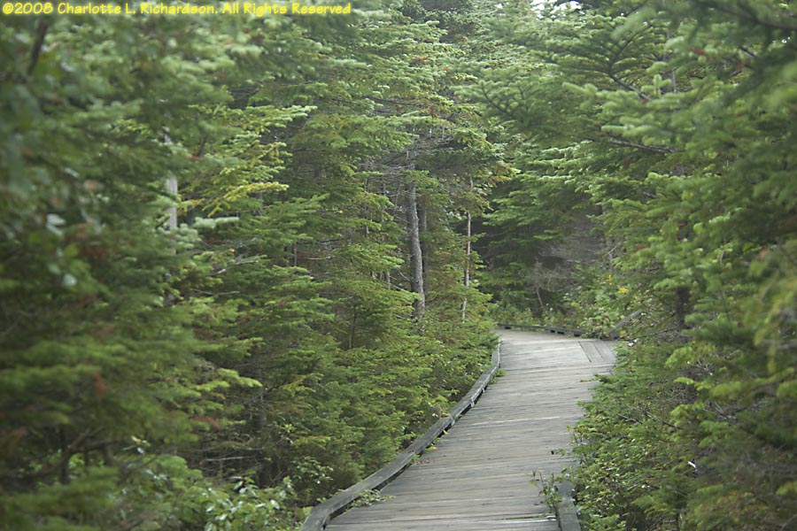
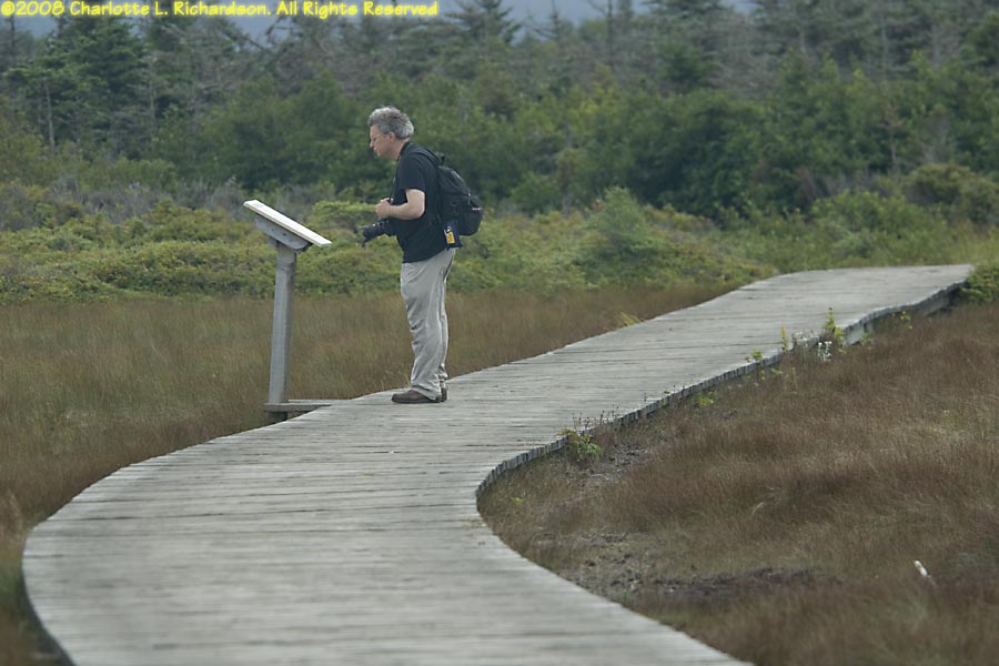
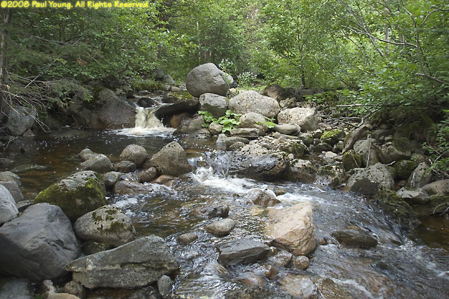
Berry Head Pond: trail encircling the pond through forest and bogs, a lot of it as a boardwalk.
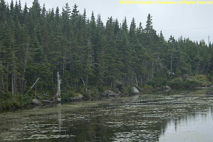
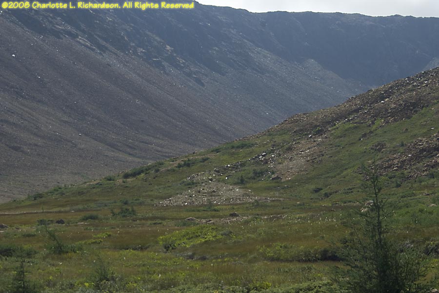
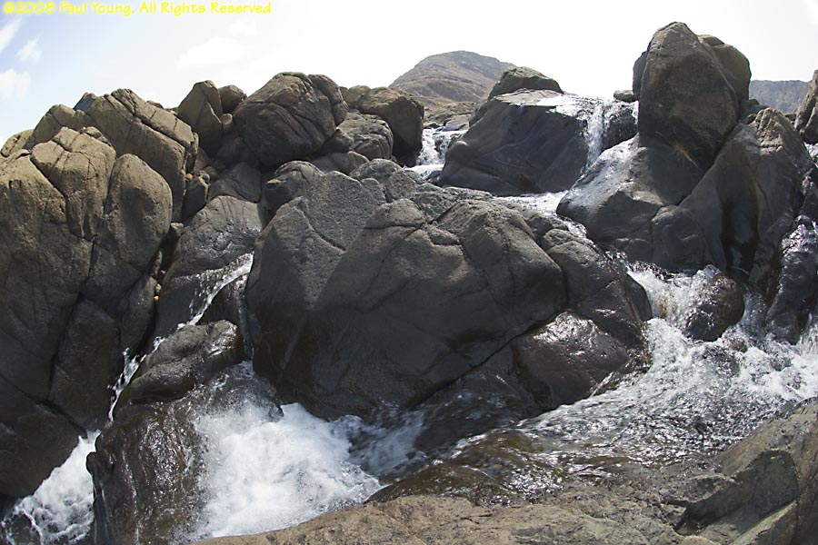
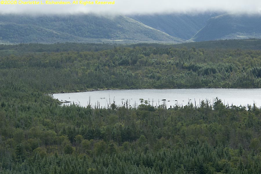
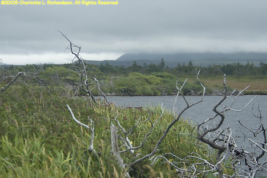
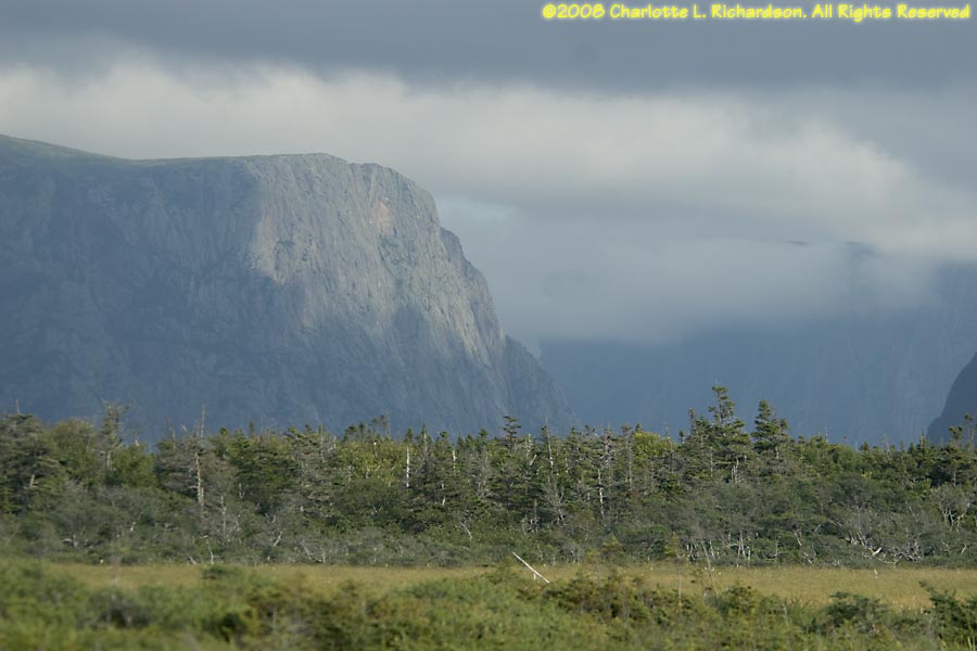
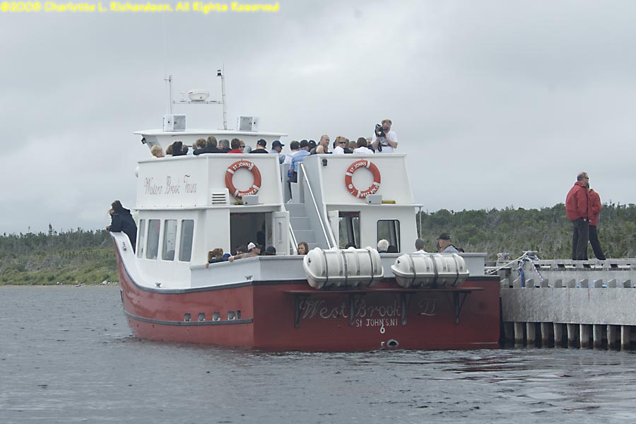
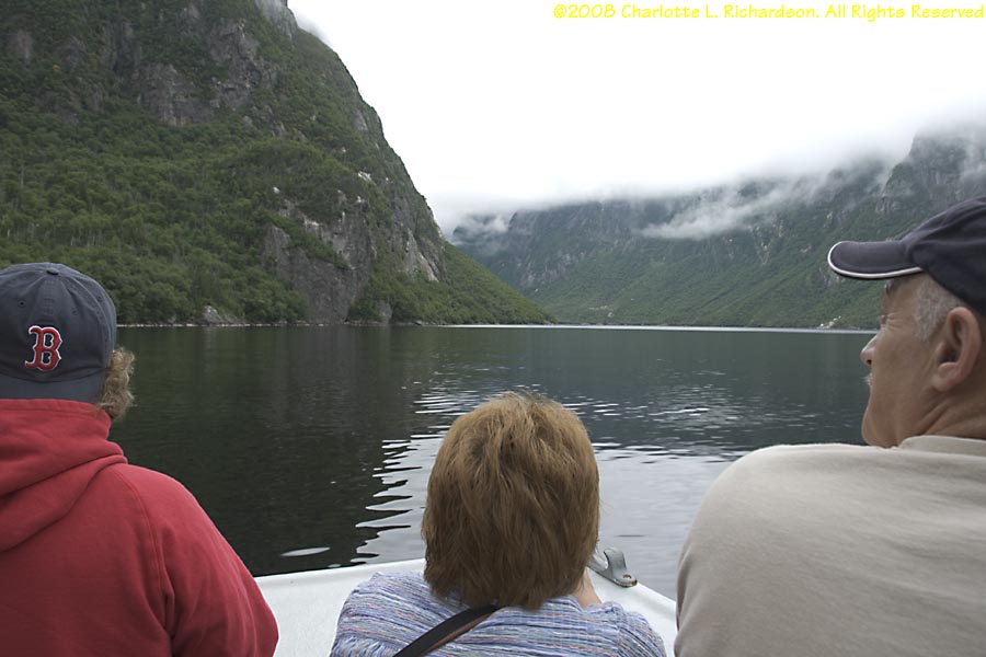
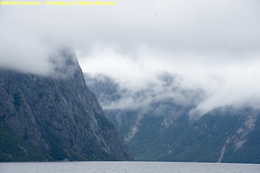
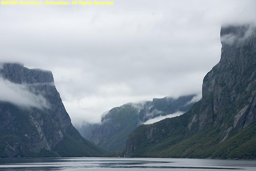
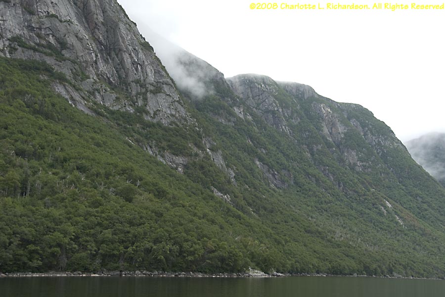
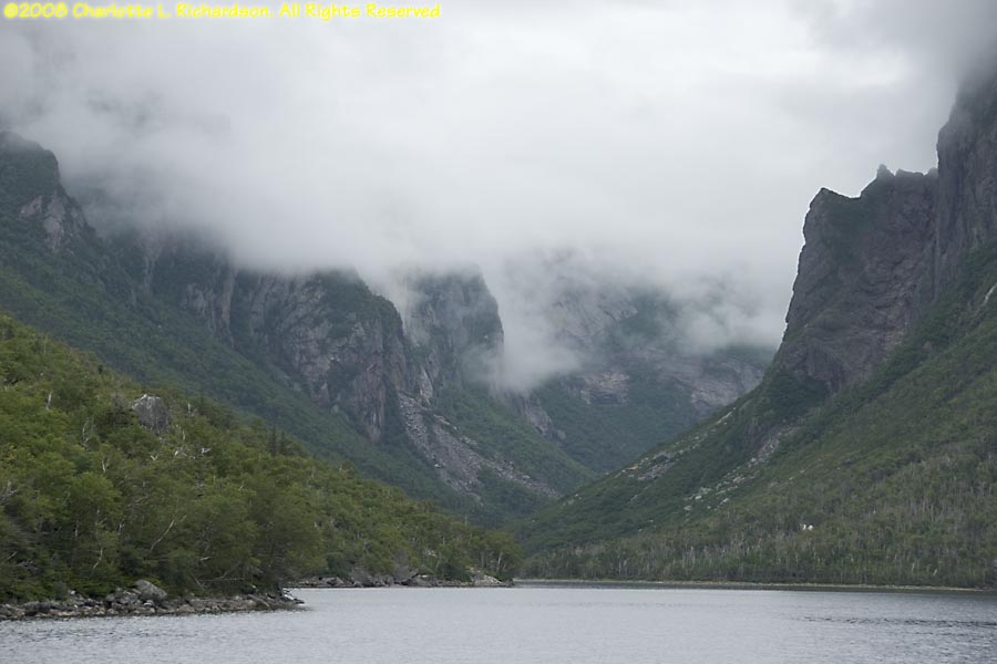
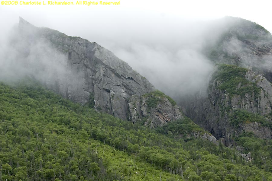
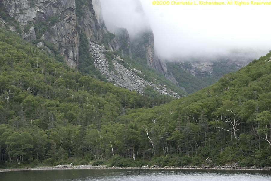
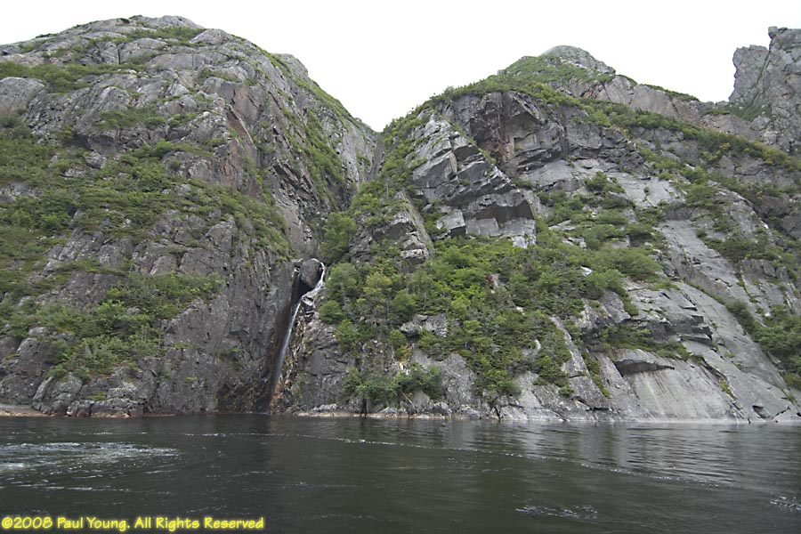
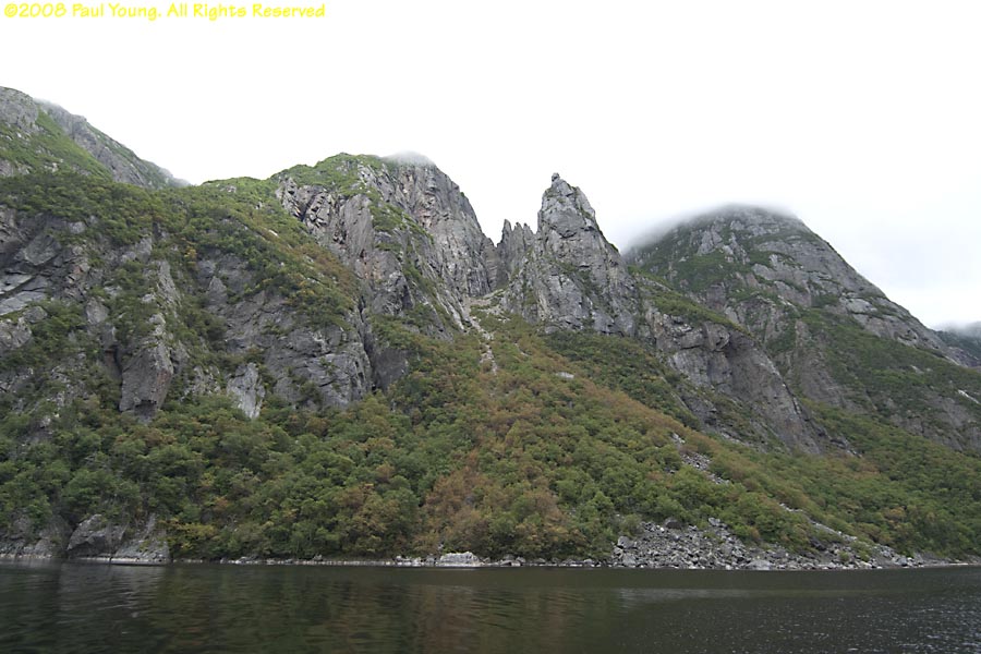
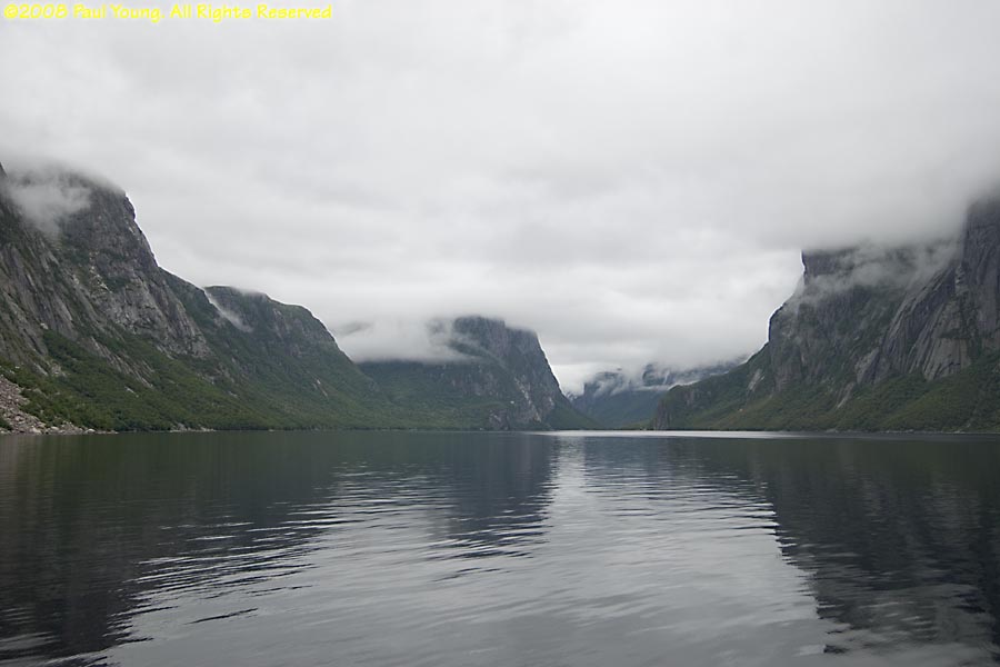
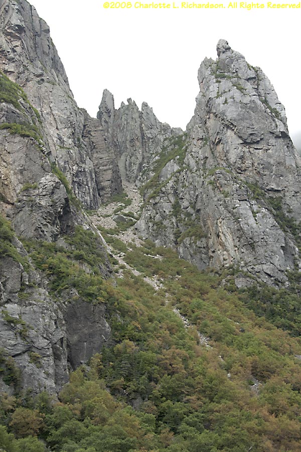
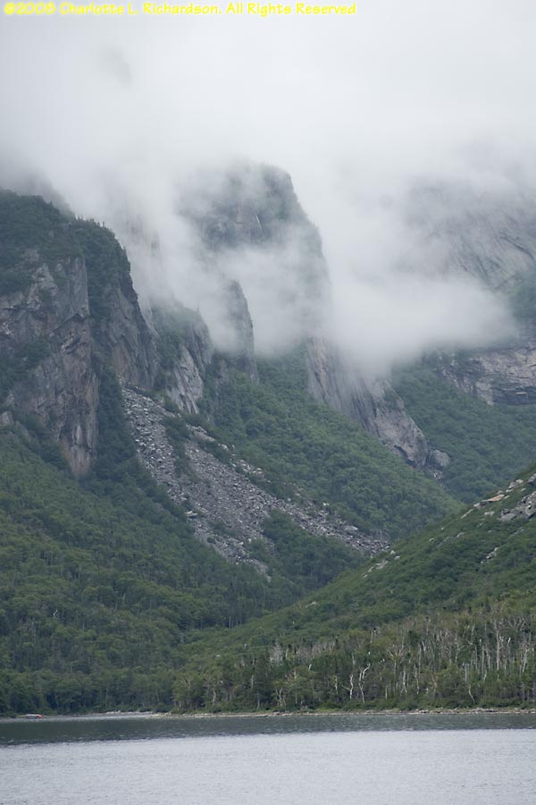
Western Brook Pond: a land-locked fjord accessed by a trail through coastal bogs and low limestone ridges over gentle terrain (frequented by moose) and boardwalks, to a boat that goes up into the fjord past 2000' granite and gneiss cliffs.
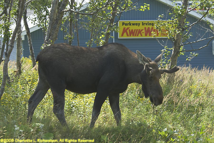
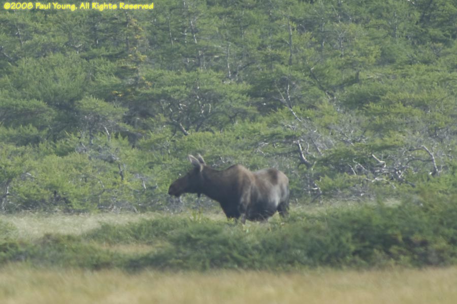 Moose, Alces alces
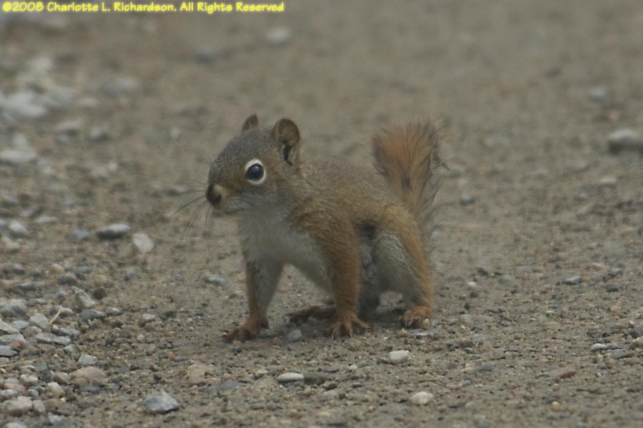 American red squirrel, Tamiasciurus hudsonicus
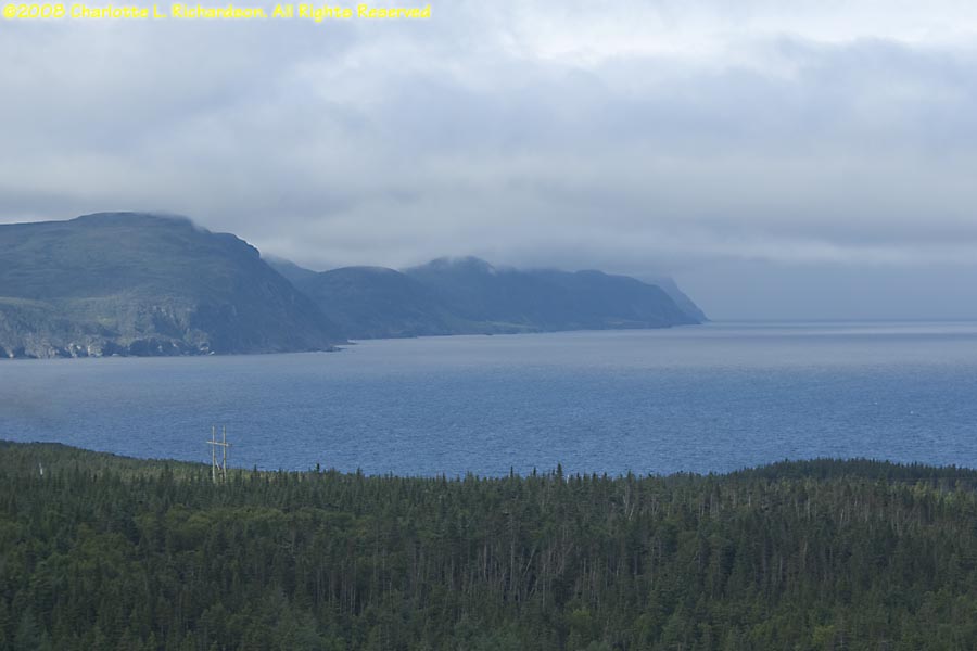
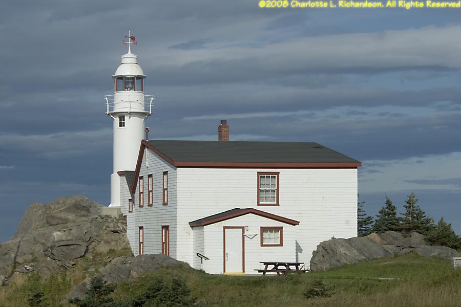
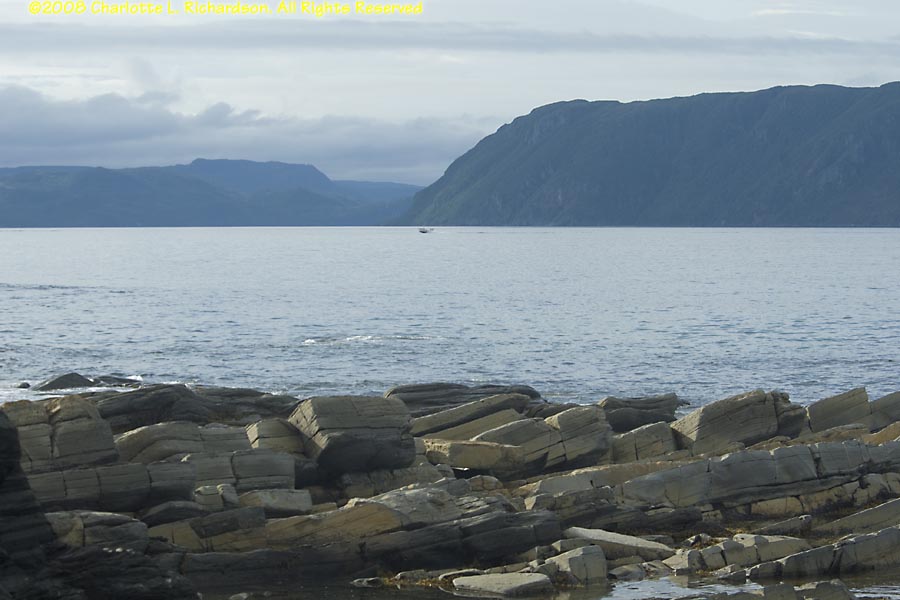
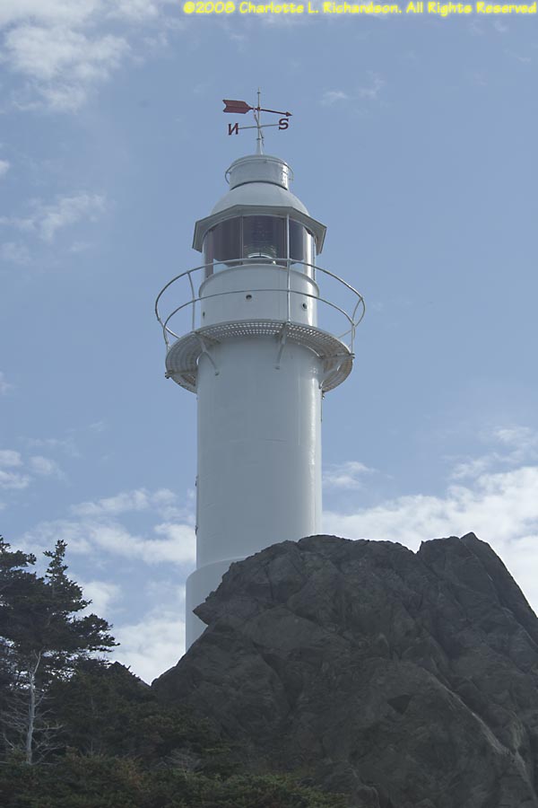
Lobster Cove Head Lighthouse: paths along the shoreline and along coastal cliffs at the approach to Bonne Bay and Rocky Harbor.
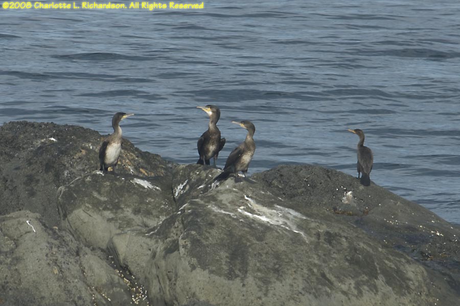
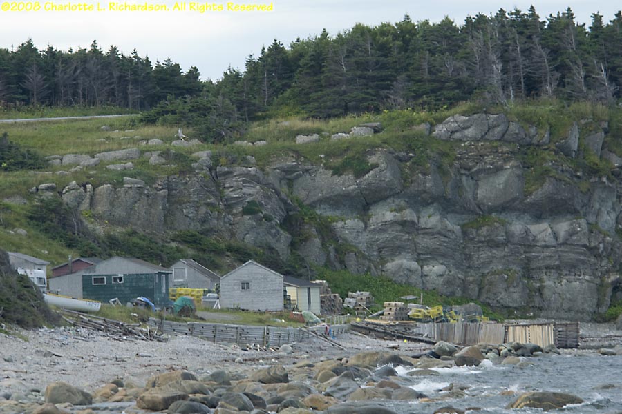
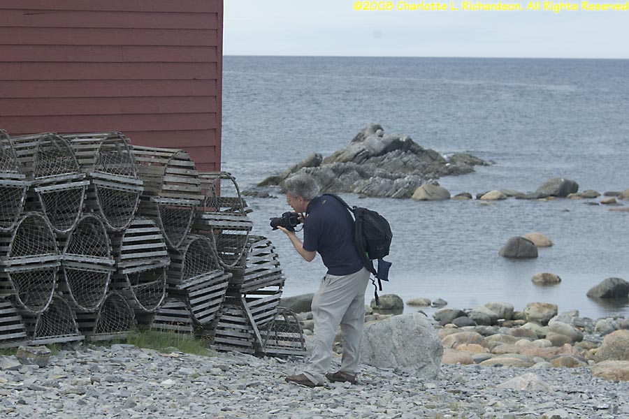
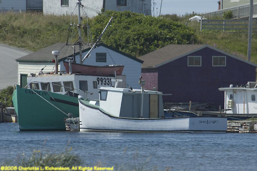
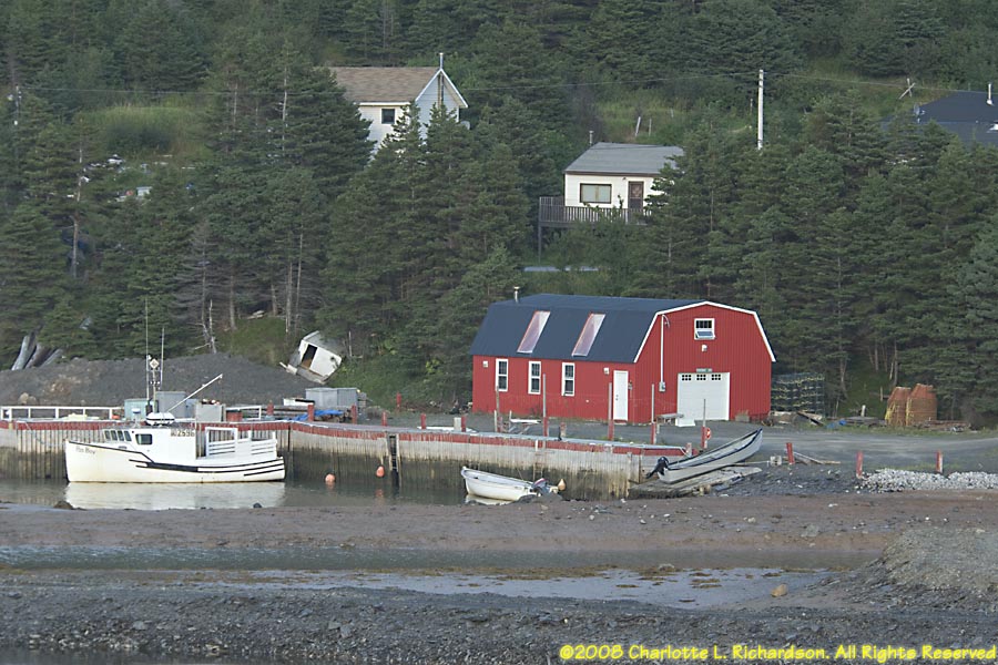
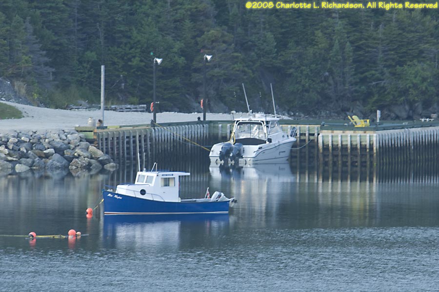
Fishing and lobstering along the coast
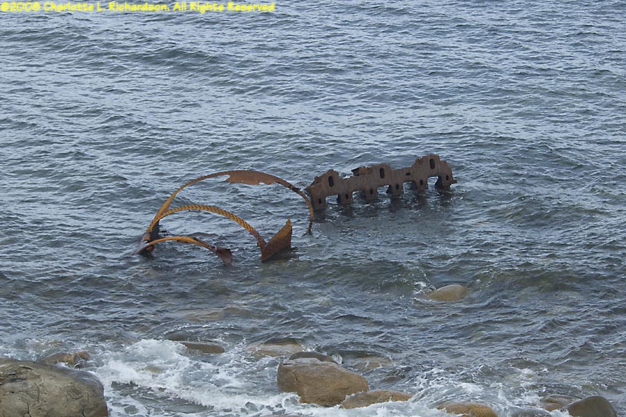
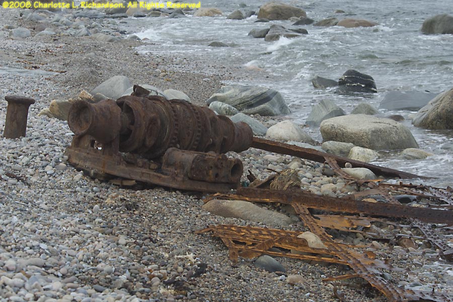
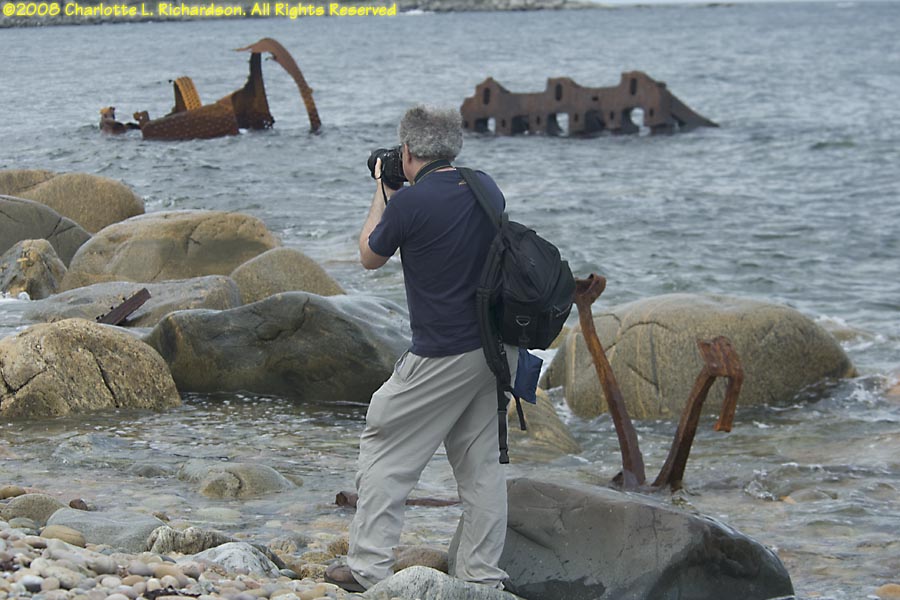
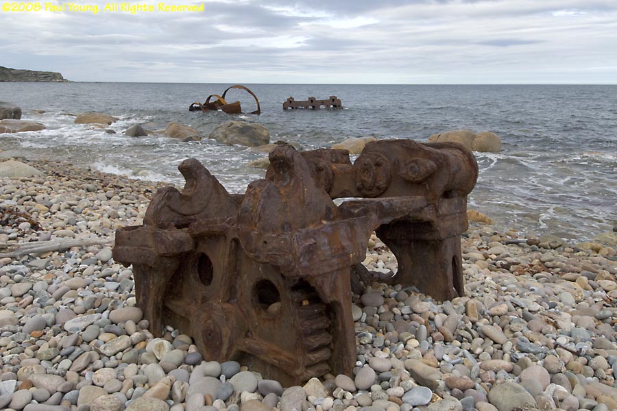
S. S. Ethie: A coastal steamer wrecked near Martin's Point.
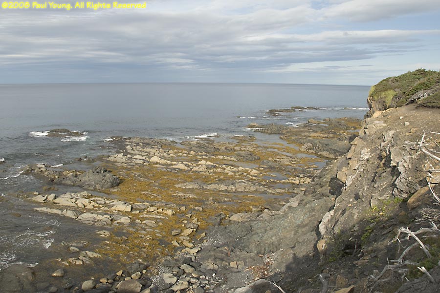
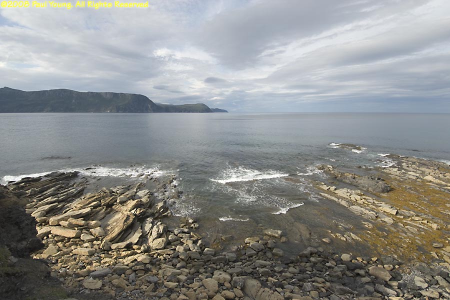
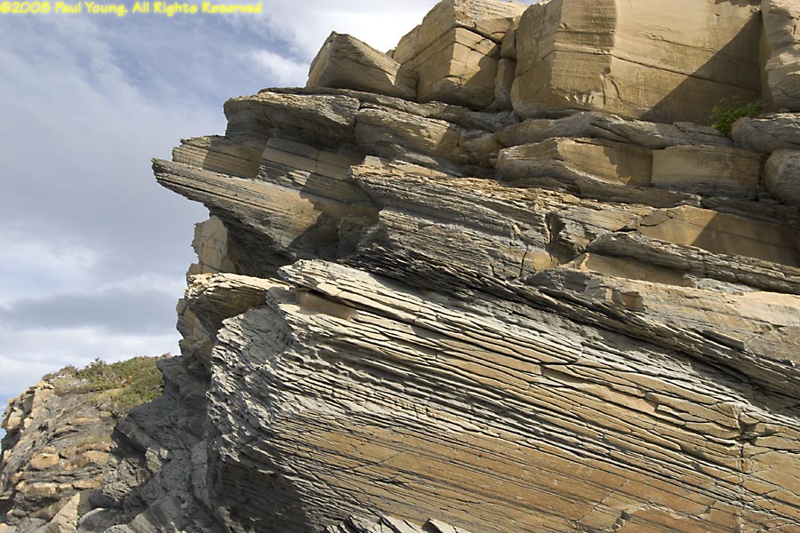
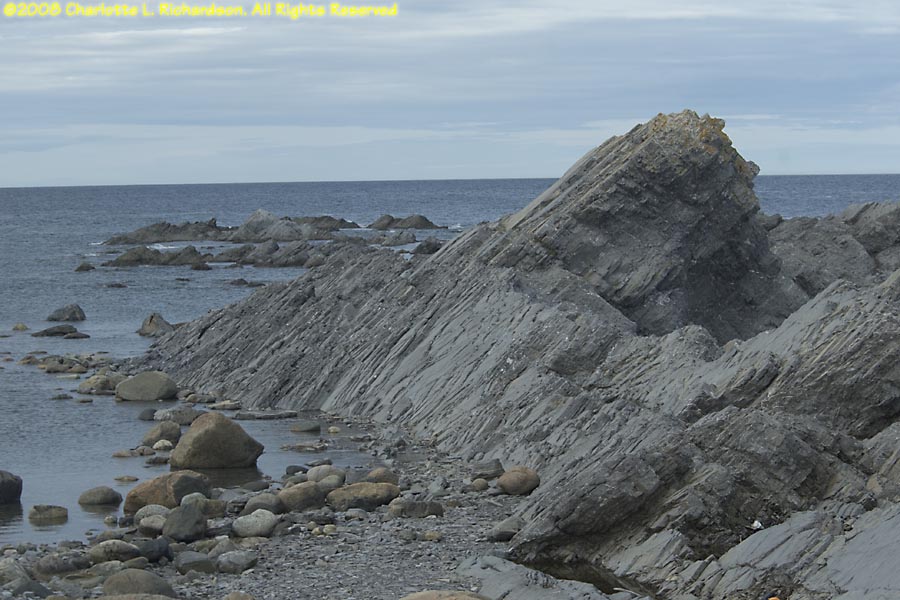
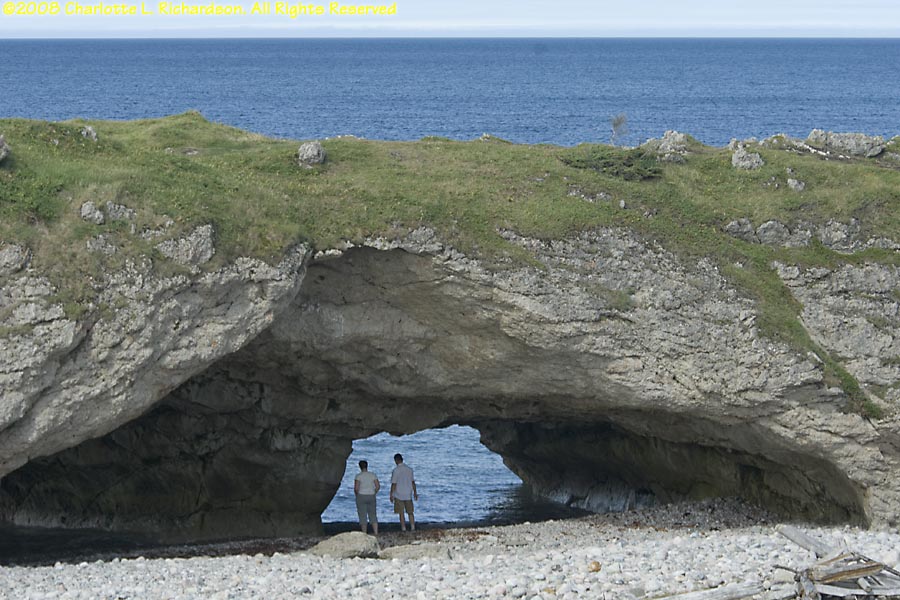
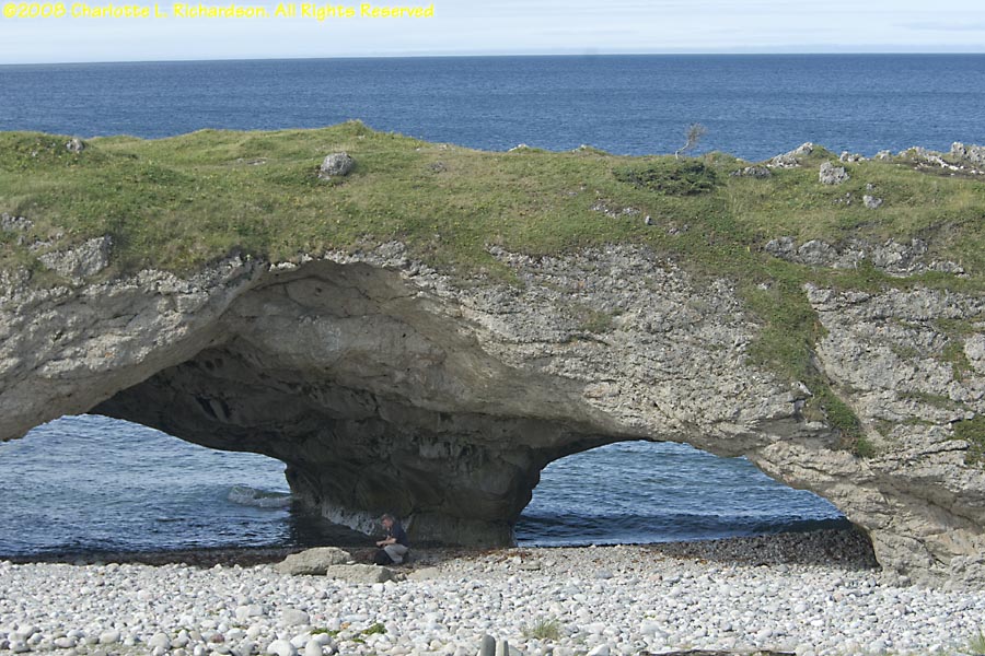
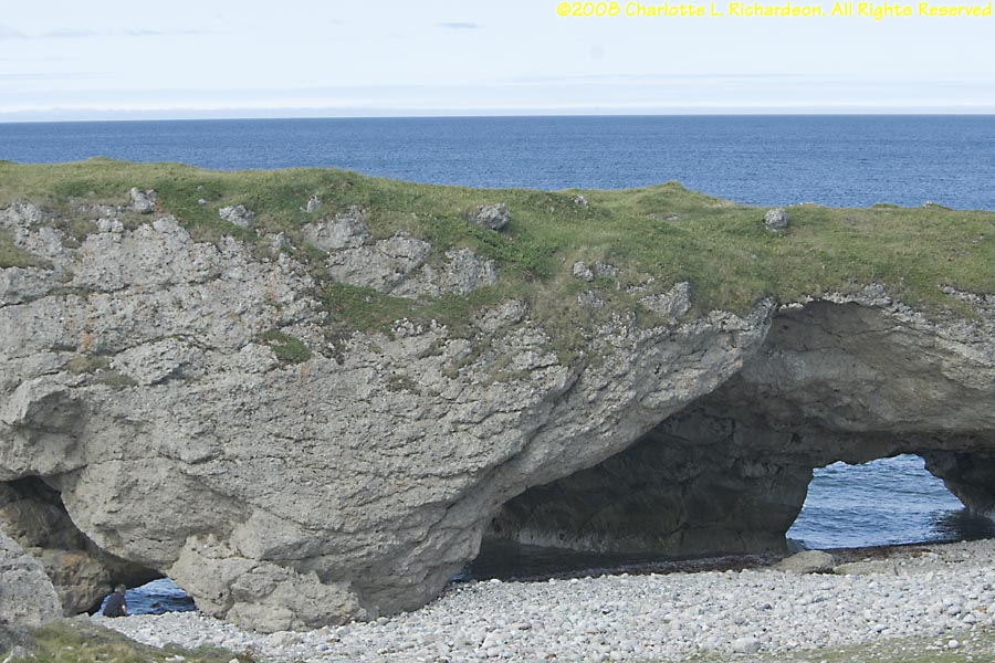
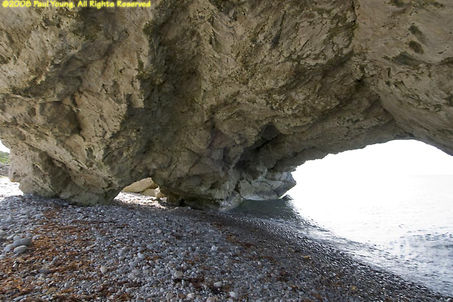
The Arches Provincial Park: tilted limestone rock layers eroded into sea arches.
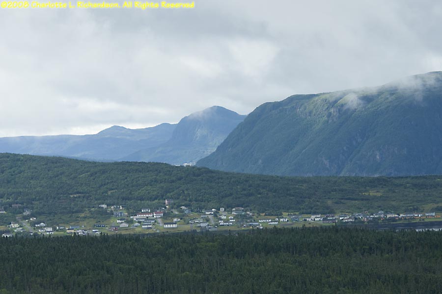
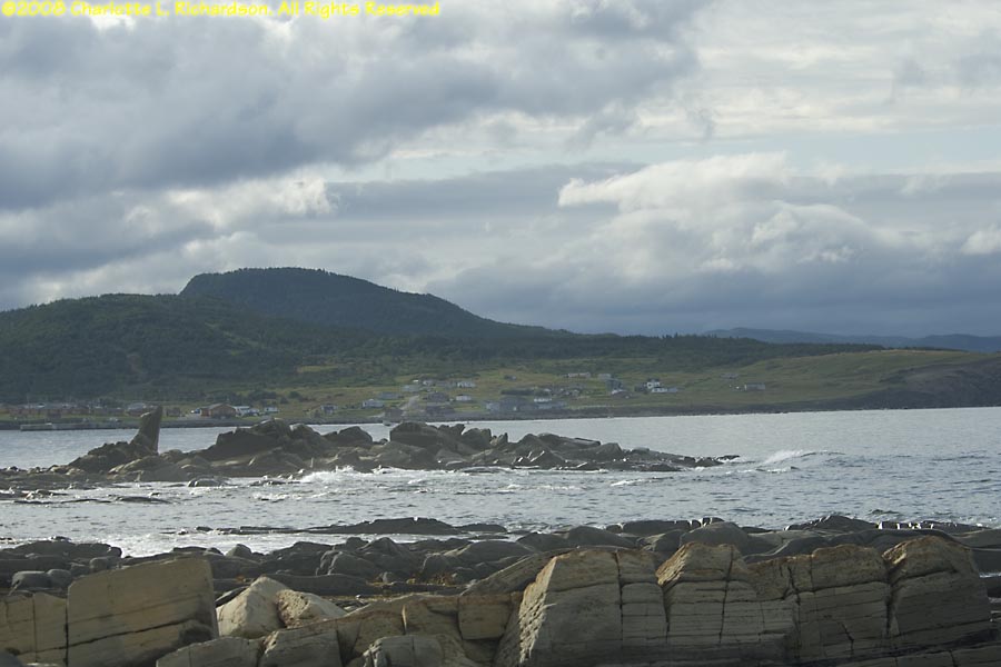
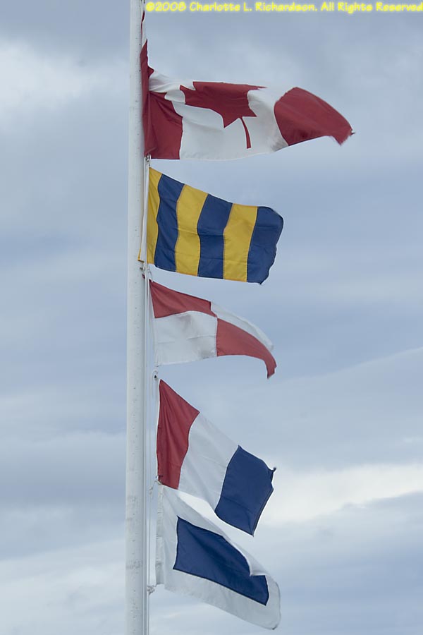
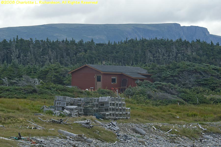
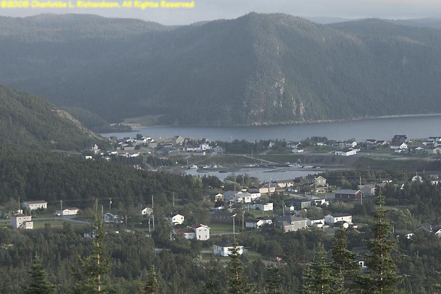
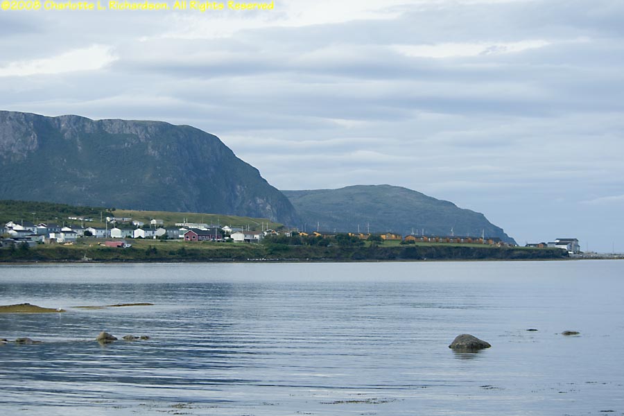
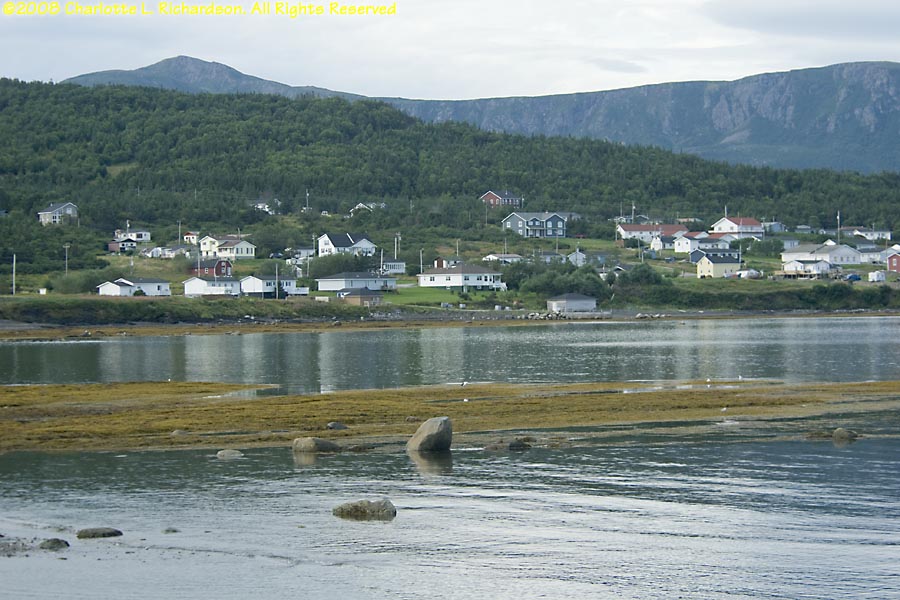
Rocky Harbor: main village of Gros Morne National Park, on the north side of Bonne Bay fjord.
 Moose, Alces alces
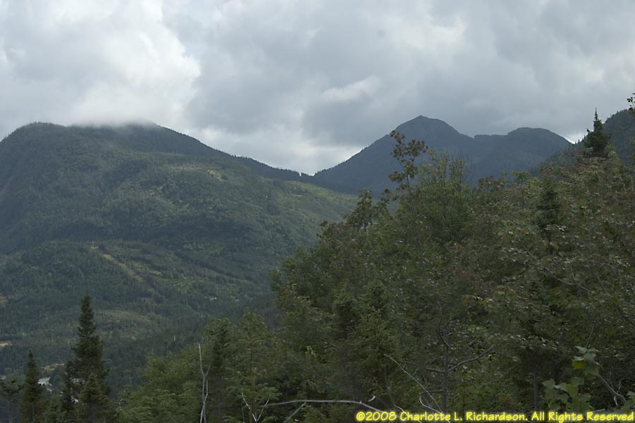
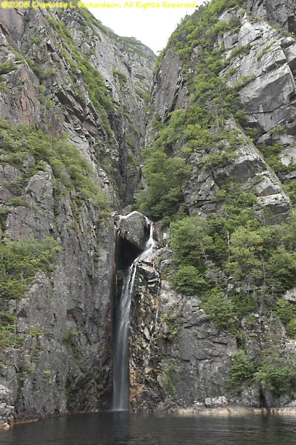
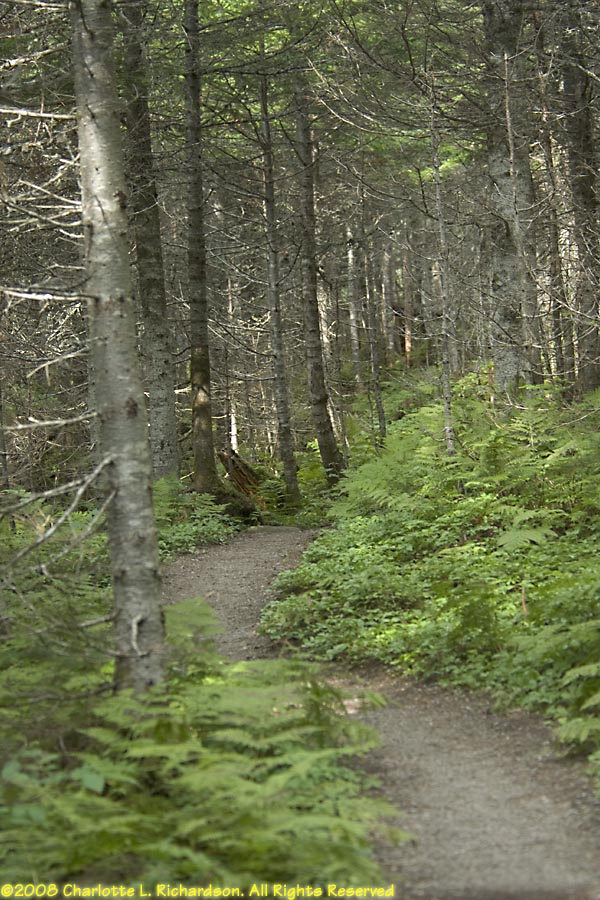
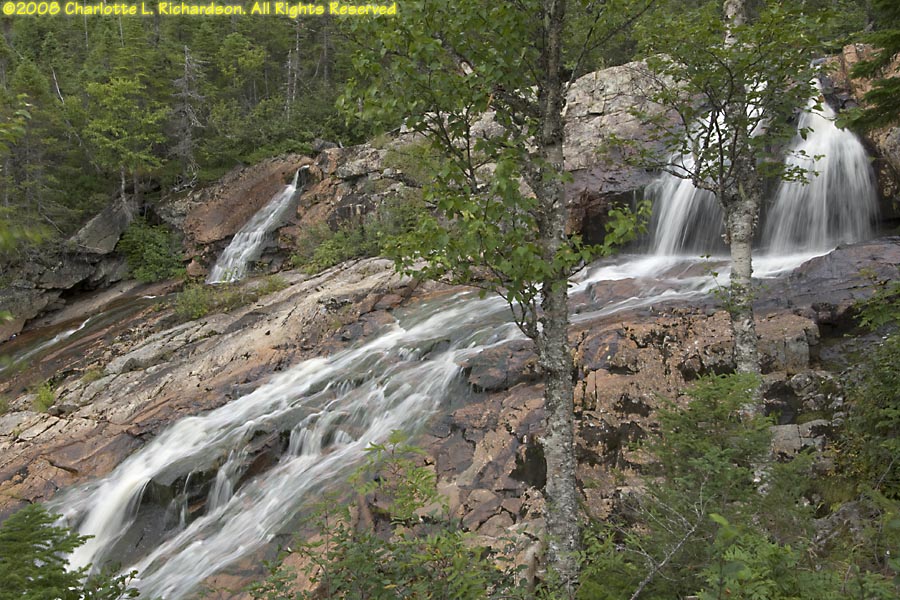
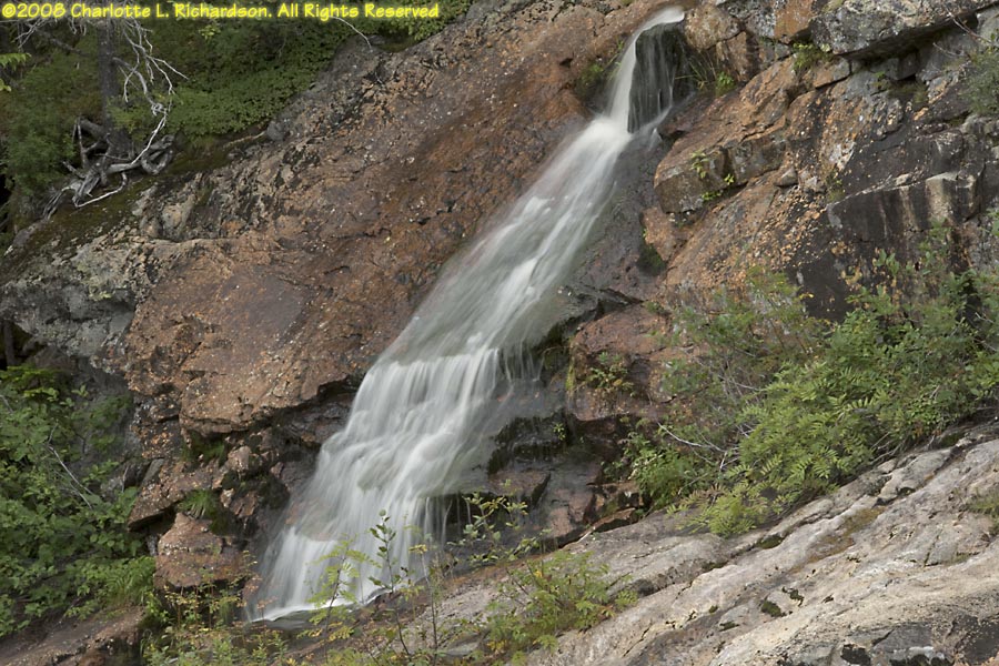
Southeast Brook Falls: short trail through fir woods to the top of the waterfalls.
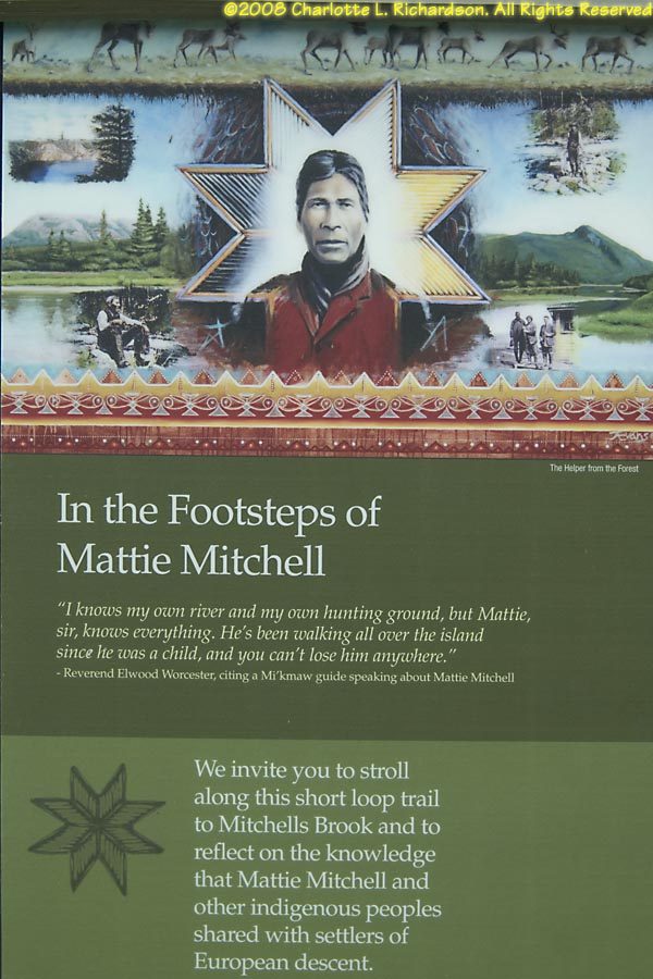
Mattie Mitchell: short interpretive trail telling the story of Mattie Mitchell and the Mi'kmaq in Newfoundland. Mattie Mitchell was a renowned Mi'kmaq hunter, guide, and prospector, instrumental in the exploration and mapping of the northern peninsula of Newfoundland.

We returned to Newfoundland over Memorial Day Weekend 2016 to the Avalon Peninsula and Bonavista.
©2008, 2016, 2017, 2018, 2026 Mermaid Underwater Photographic. All Rights Reserved.
Contact us at mermaid@underwater.org.
Last modified 8 April 2026